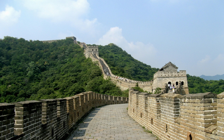
World Heritage site · Beijing / Hebei / Gansu
The Great Wall ↗
Follow a frontier through mountain ridges, fortified passes and the meeting of wall and sea.

World Heritage. Living traditions. Extraordinary geology.
Choose what draws you in, then connect it with your China journey.
Our collection covers 60 mainland World Heritage properties, 25 selected UNESCO Global Geoparks and 53 living-tradition encounters. 14 of these encounters introduce UNESCO-listed intangible heritage.
The World Heritage directory covers the mainland list. The geopark and living-tradition collections are curated selections, rather than complete national registers. Recognition belongs to the named place or tradition, not to a whole city or our visitor activity.
Cultural and natural places inscribed on the World Heritage List.
Living traditions on UNESCO’s intangible heritage lists; encounters introduce the recognised tradition.
Defined territories recognised for geological heritage, education and their local communities.
Traditions in China’s national intangible cultural heritage register. This is a separate recognition from UNESCO.
Several local traditions may share one UNESCO inscription. A sample journey is a starting point; visits and participation are confirmed in your personal proposal.
Choose one or more labels to explore the corresponding collections. A shared entry appears only once.
138 places & traditions
Follow a frontier through mountain ridges, fortified passes and the meeting of wall and sea.
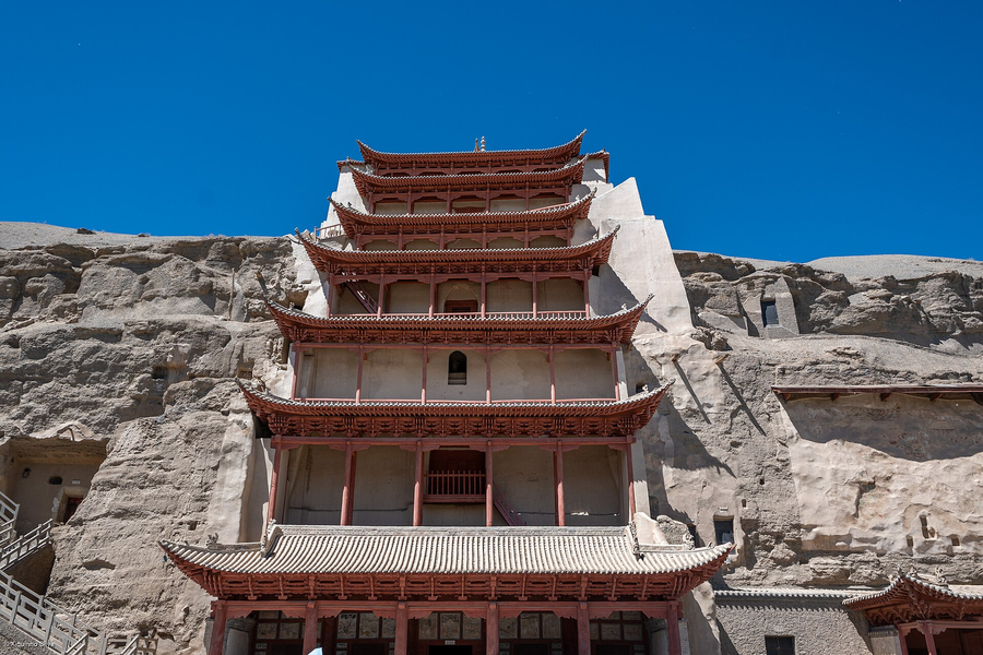
Enter a painted world at the edge of the desert, where Buddhist stories meet centuries of Silk Roads exchange.
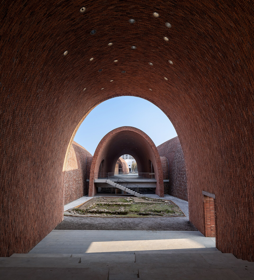
See porcelain as an entire working world: raw materials, firing, skilled labour and international trade.
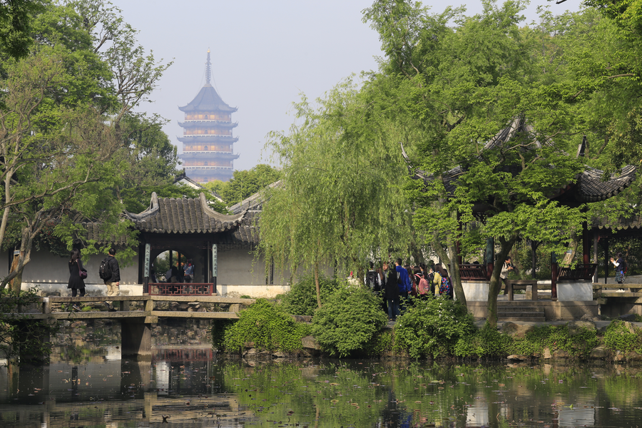
Discover landscapes composed at the scale of a courtyard: rocks, water, planted seasons and borrowed views.
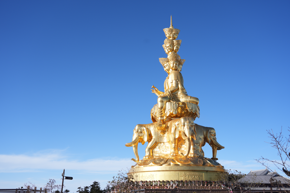
Connect a forested Buddhist mountain with the monumental Buddha overlooking Leshan’s river confluence.
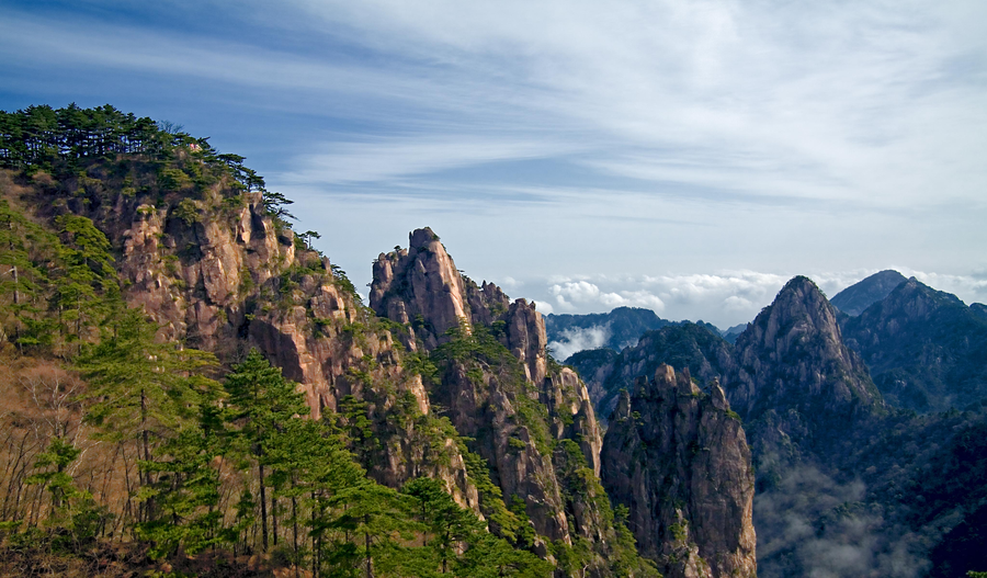
Pines, granite peaks and moving cloud give this mountain the visual language of Chinese landscape art.
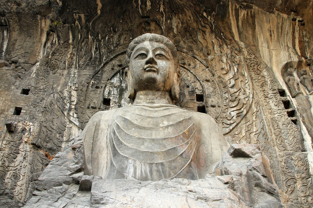
Read a millennium of Buddhist art on limestone cliffs beside the Yi River.
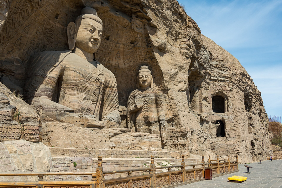
Meet monumental Buddhas and a sculptural language shaped by the Northern Wei court and cultural exchange.
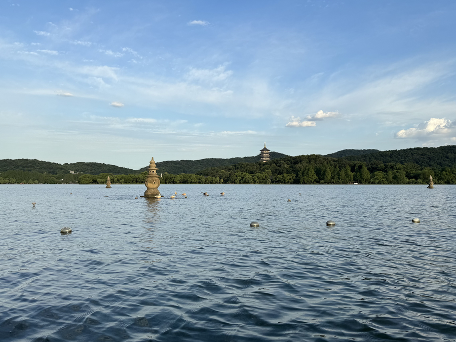
A lake becomes a cultural landscape through causeways, gardens, poetry and deliberately framed views.
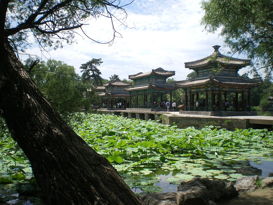
An imperial summer landscape opens onto temples expressing the Qing court’s relationships with different traditions.
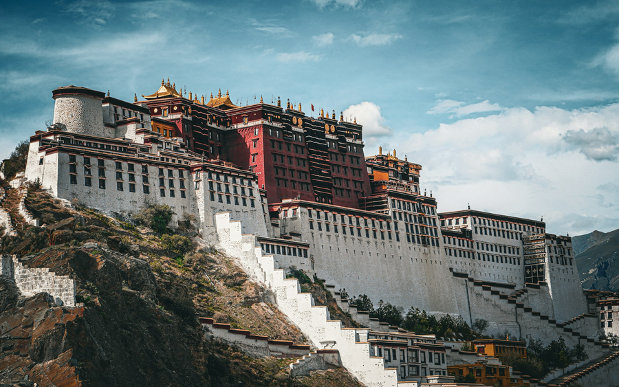
Explore three distinct settings of Tibetan cultural life: palace, sacred temple and summer residence.
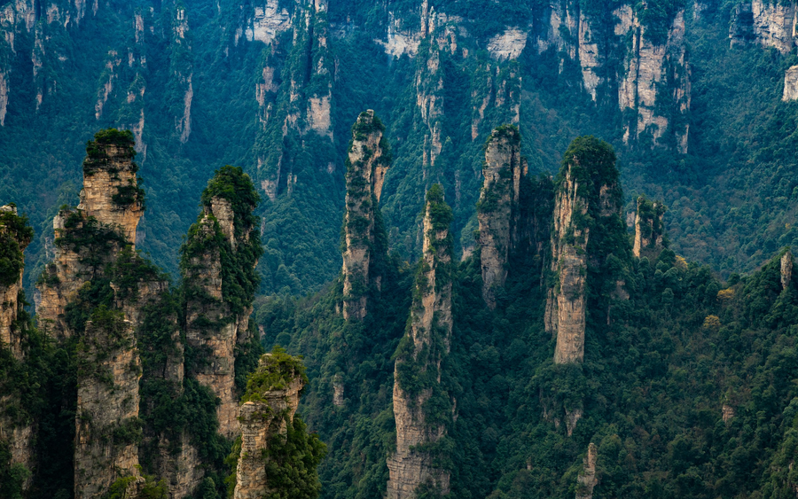
Walk through a landscape of towering sandstone pillars, forest and shifting mist.
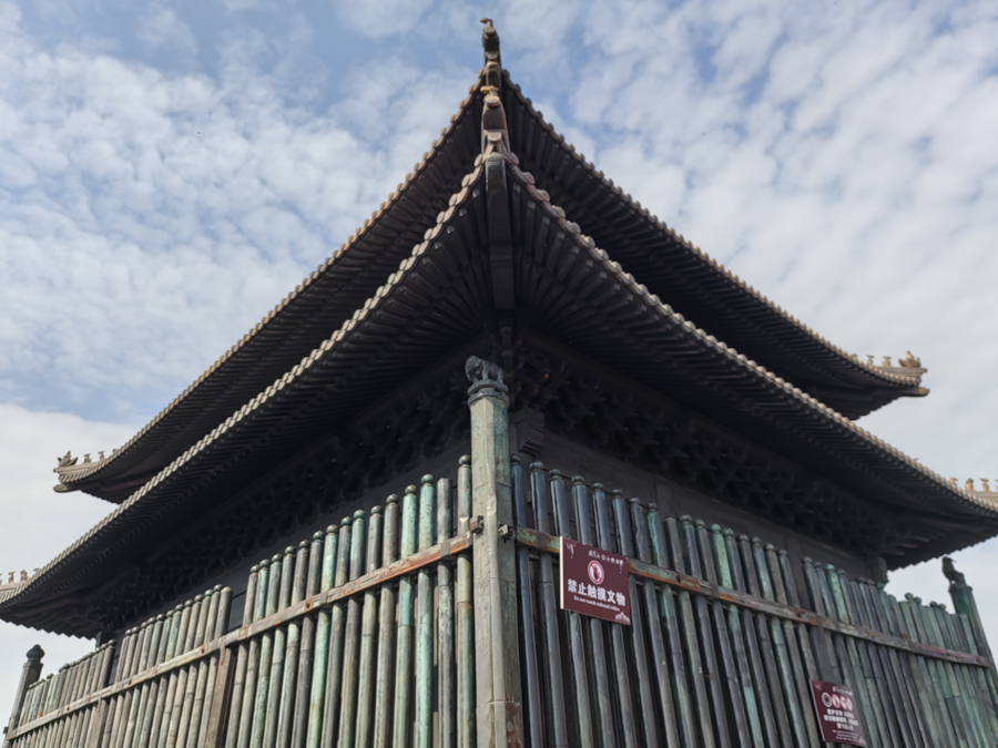
Follow a mountain’s Daoist identity through temple courtyards, ritual spaces and the Golden Hall.
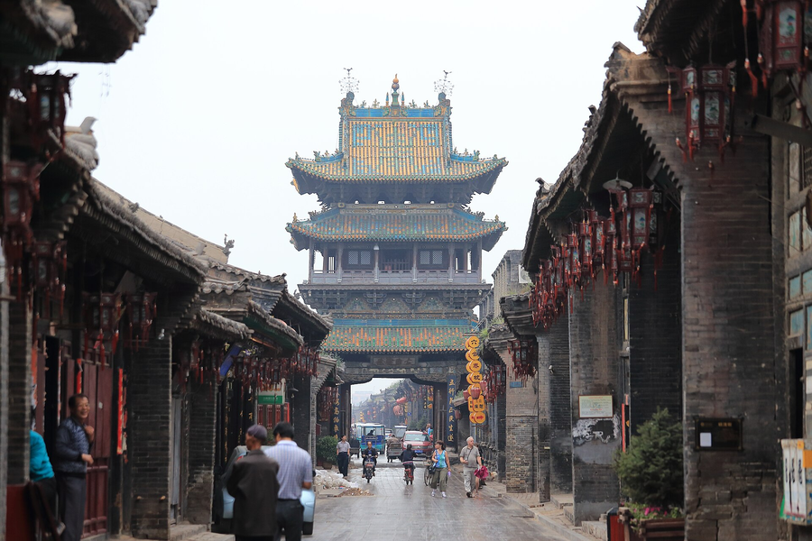
Trace an urban world of merchant houses, banking institutions, city walls and painted sacred sculpture.
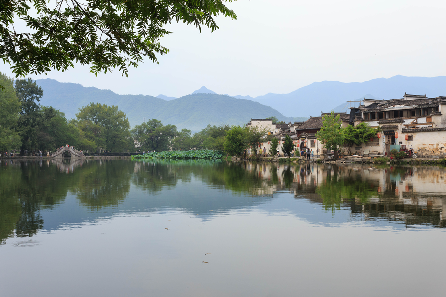
Water systems, white walls and dark tiles reveal how two Huizhou villages were organised for everyday life.
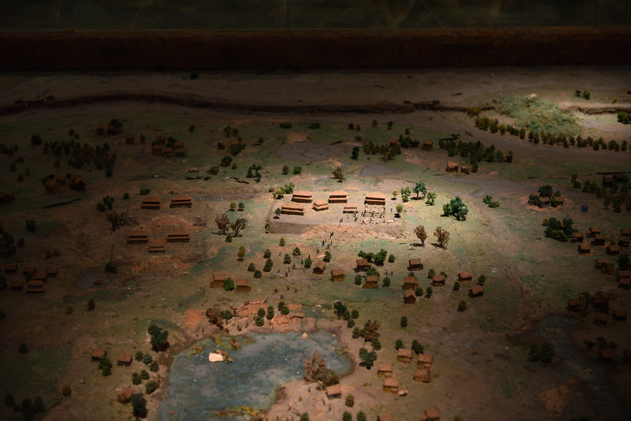
Encounter an early urban society through earthworks, water engineering and the ceremonial world of jade.
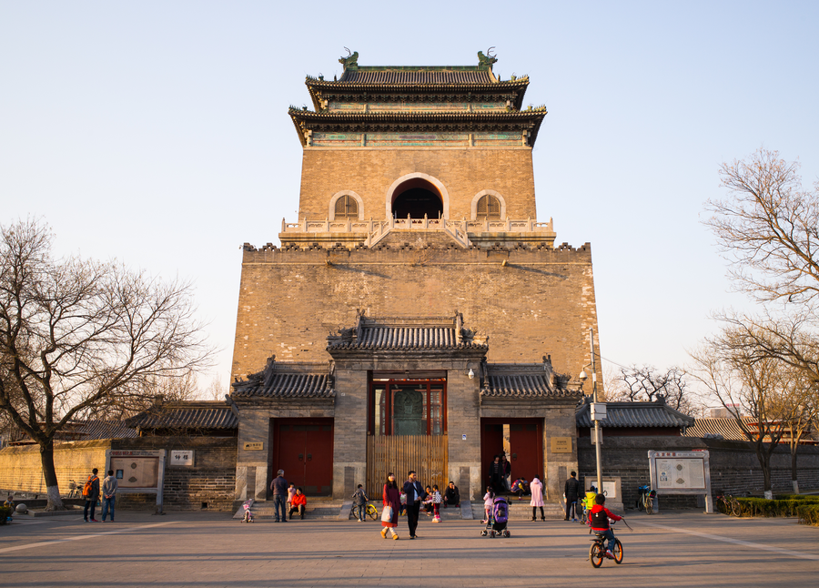
Read Beijing’s historic order through a north–south sequence of civic, ceremonial and imperial spaces.
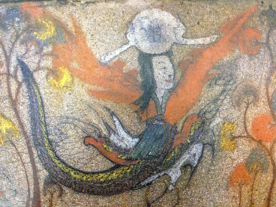
An early kingdom’s story survives in mountain-city remains, fortifications and tombs on China’s northeastern border.
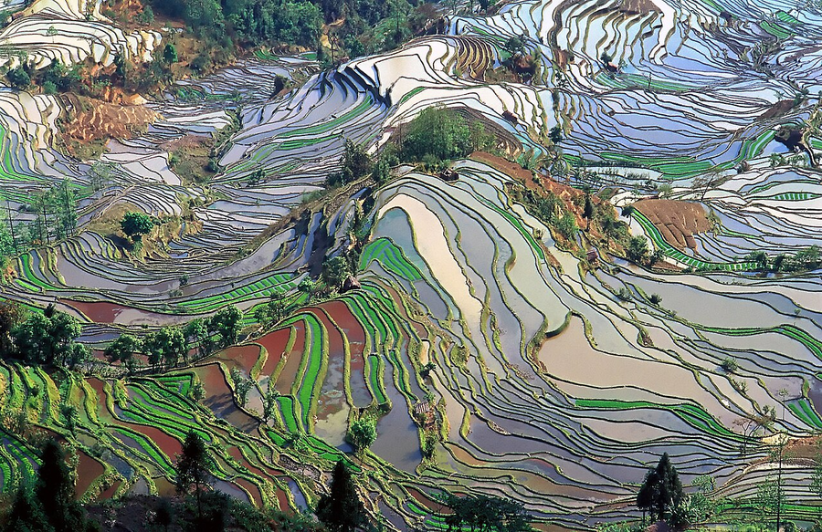
See a cultivated landscape maintained through forests, villages, water and generations of farming knowledge.
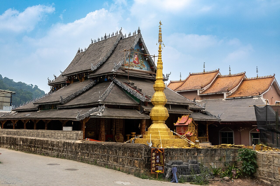
Tea grows within a cultural landscape shaped by communities, forest stewardship and long-standing cultivation.
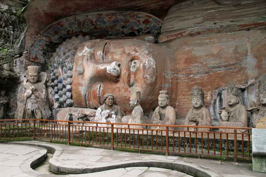
Carved scenes bring Buddhist, Daoist, Confucian and everyday ideas into a vividly human visual world.
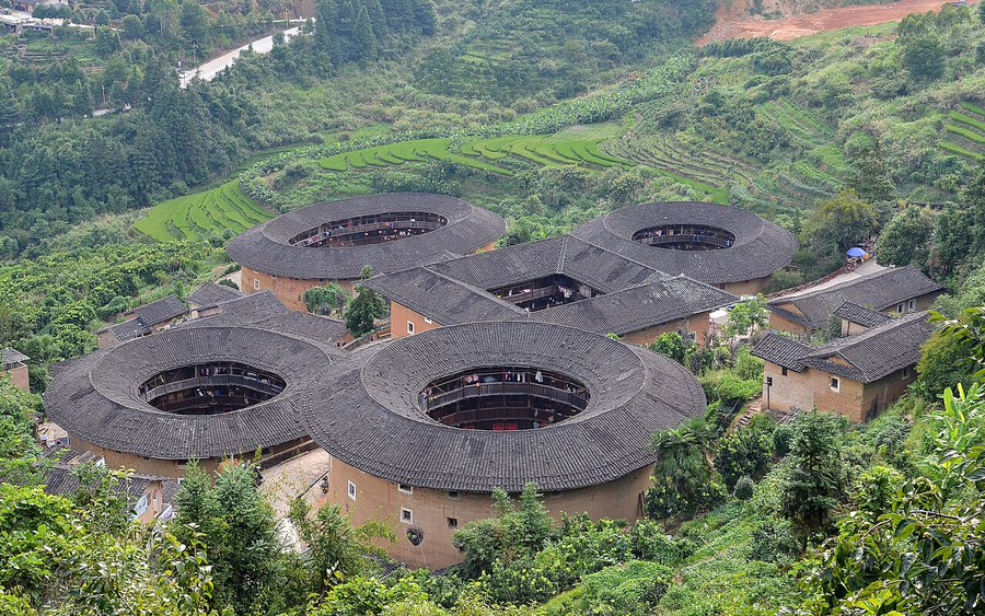
Earthen communal buildings reveal how architecture supports kinship, defence and shared domestic life.
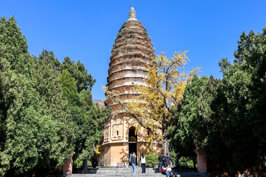
Explore a mountain region where Buddhist, Daoist, Confucian and astronomical traditions converge.
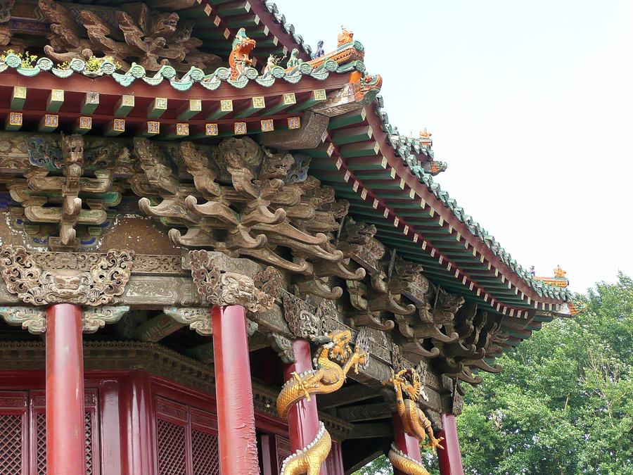
Two palace complexes illuminate different stages of imperial rule and different architectural traditions.
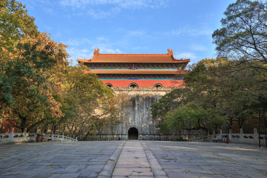
Processional routes, wooded slopes and ceremonial architecture express imperial ideas about death and landscape.
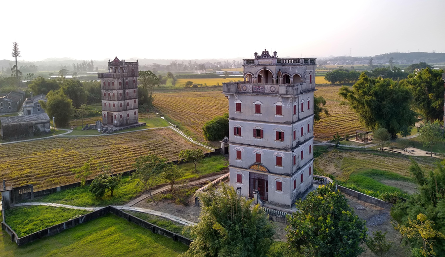
Fortified village towers tell a story of migration, returning wealth and architectural exchange.

An island neighbourhood reveals maritime exchange through homes, gardens, institutions and musical life.
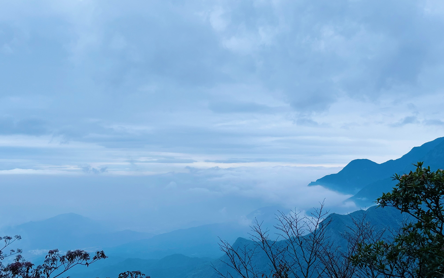
A mountain becomes a cultural landscape through religious sites, scholarship and a long dialogue with Chinese art.
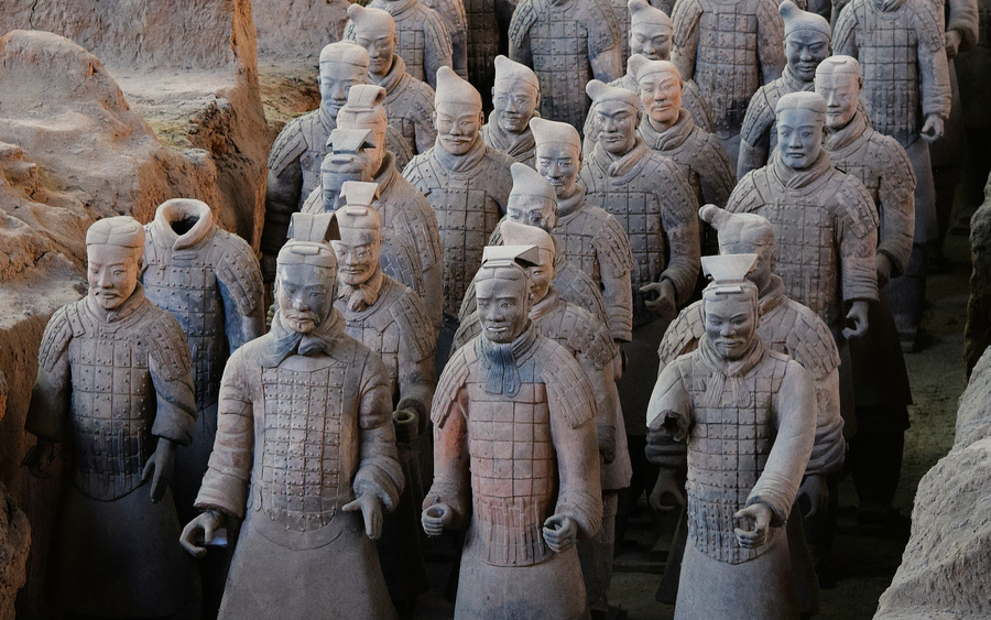
An army of individual faces opens a window onto the power, organisation and material world of the first empire.
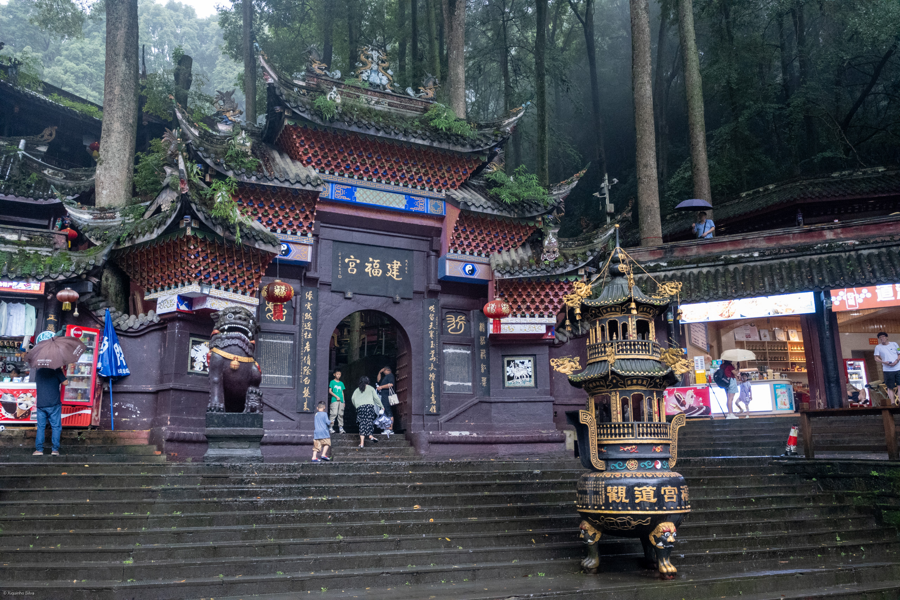
Connect a living water-management system with a mountain long associated with Daoist culture.
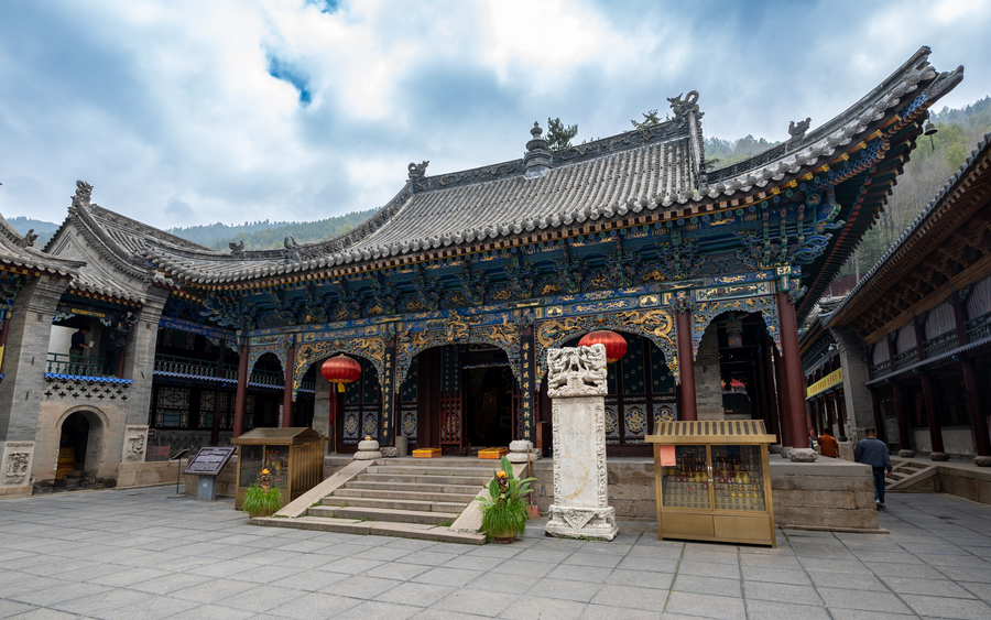
A sacred mountain landscape brings temple architecture and diverse Buddhist traditions into conversation.
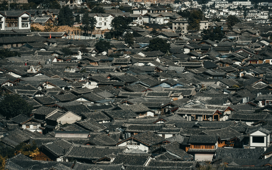
Waterways and timber buildings reveal a trading town shaped by its mountain setting and Naxi cultural life.
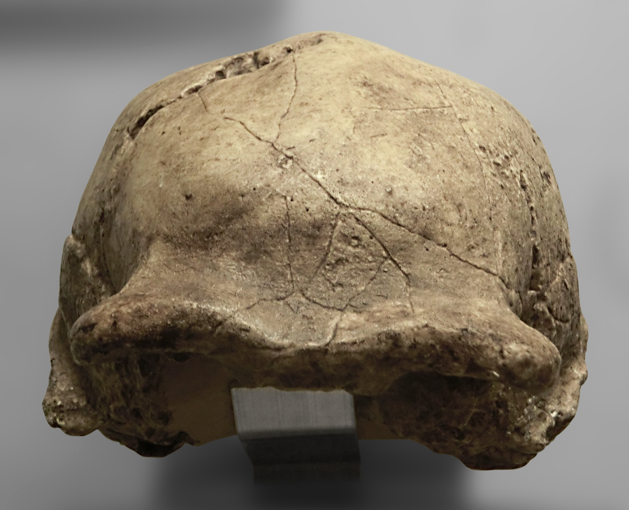
Fossil discoveries and excavation history offer a very different Beijing chapter: the deep past of human life.
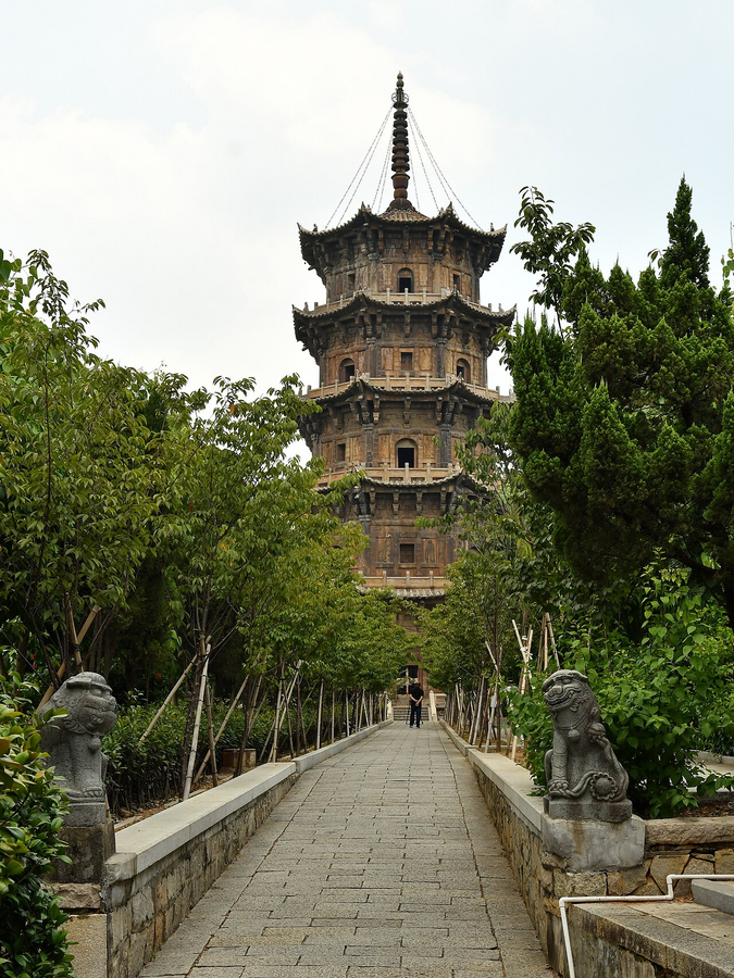
A port city’s global connections survive in temples, bridges, production sites and communities of different beliefs.
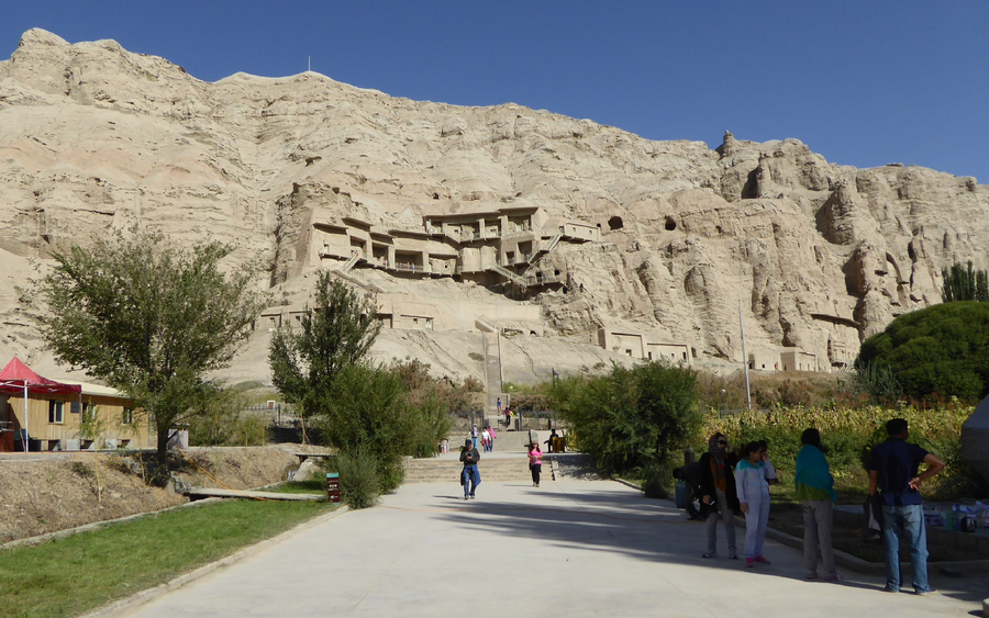
Explore selected archaeological and religious sites from a transnational network of exchange.
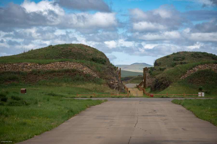
Archaeological remains in grassland recall a capital where Mongolian and Han traditions met.
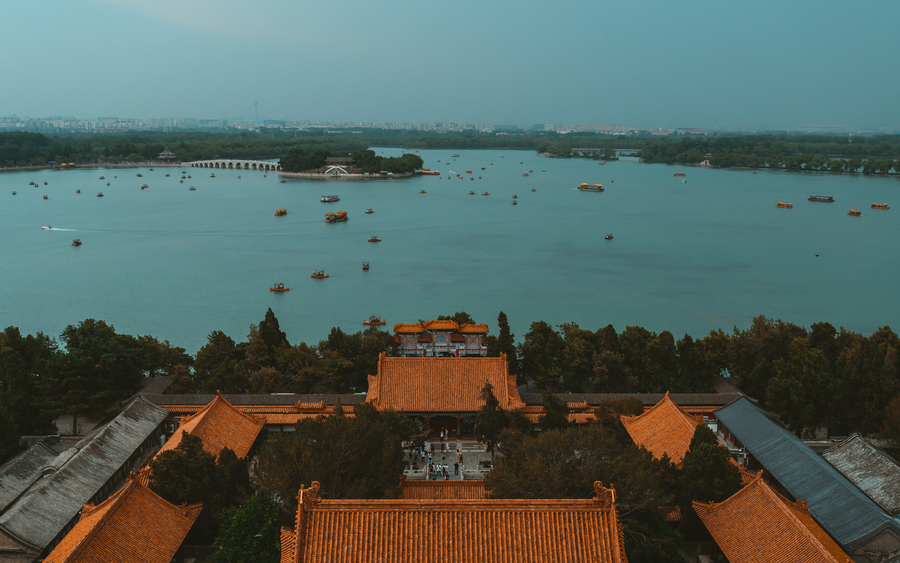
A great imperial garden joins lake, hills, pavilions and carefully orchestrated views.
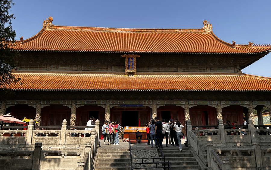
Temple, family residence and cemetery show how a thinker’s legacy became a long-lasting cultural institution.
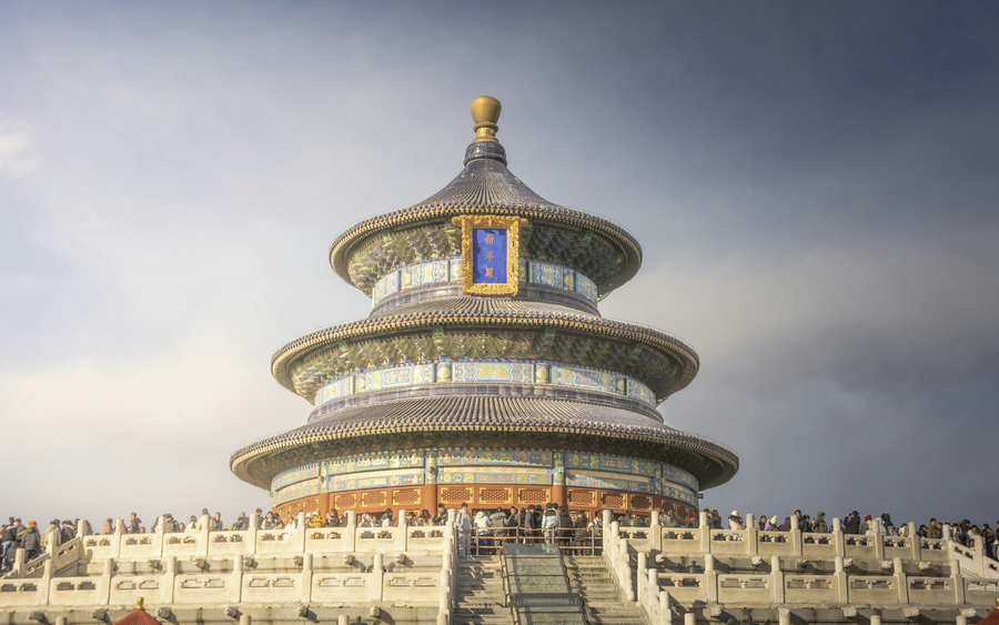
Geometry, space and ritual architecture express an imperial relationship between heaven, earth and rule.
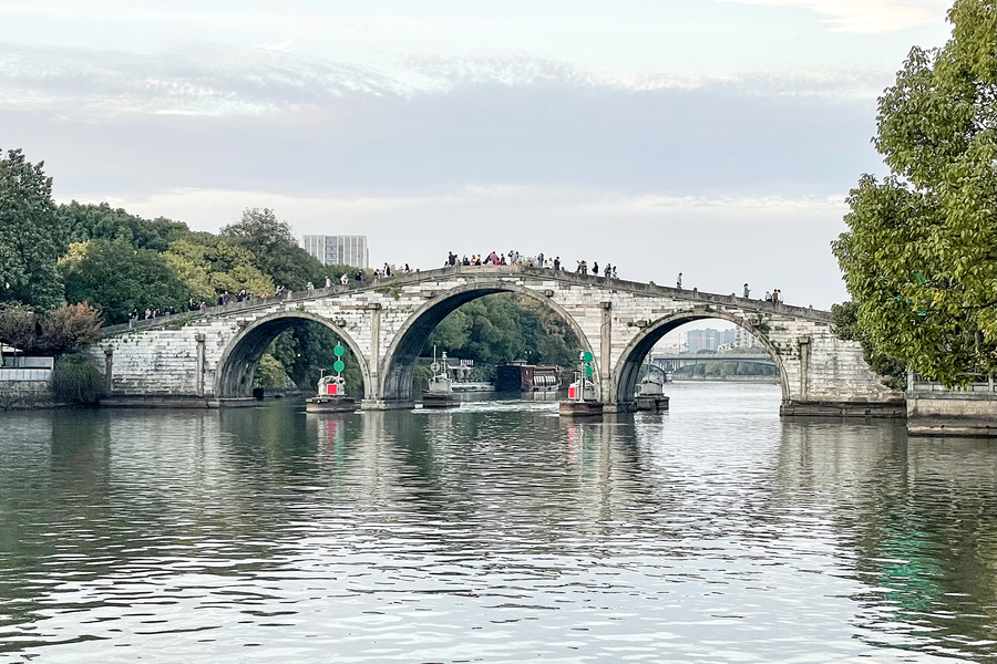
Follow the waterway infrastructure that linked regions through transport, trade and urban life.
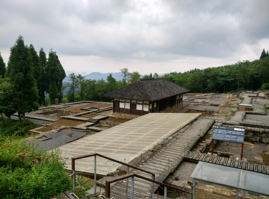
Three archaeological sites reveal regional systems of governance and exchange between communities and imperial authority.
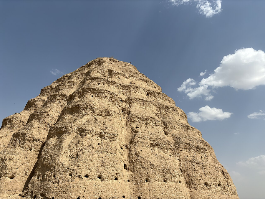
Earthen monuments beneath the Helan Mountains preserve the memory of the Tangut state.
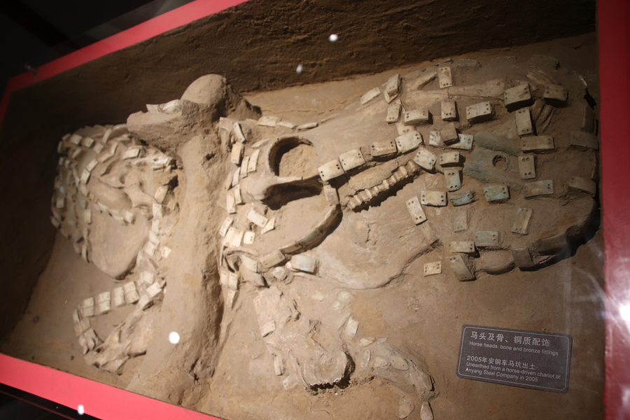
Archaeology at the Shang capital connects bronze casting, royal life and early Chinese writing.
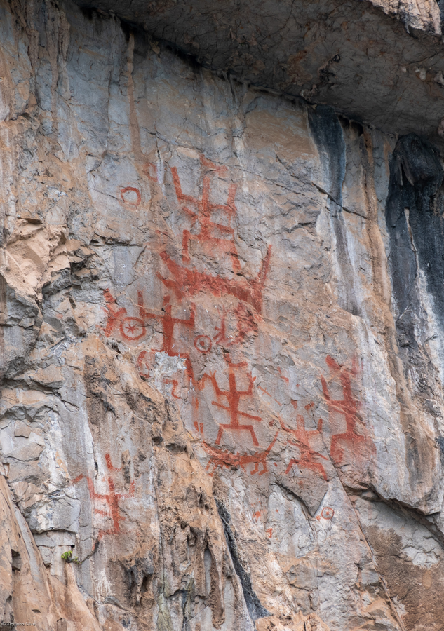
Red figures on river cliffs reveal an ancient relationship between ritual, community and landscape.
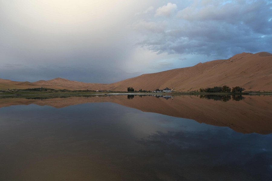
Great dunes, desert lakes and their striking contrasts create a landscape best explored with local expertise.
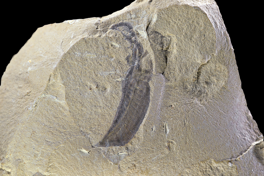
Exceptionally preserved fossils reveal an early chapter in the evolution of complex animal life.
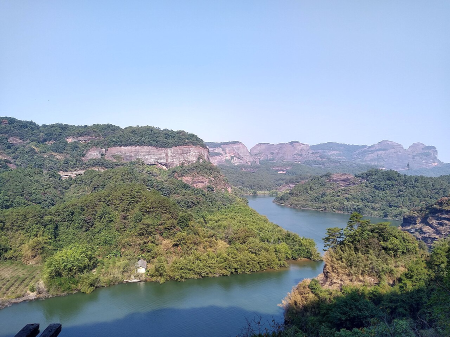
Explore red-bed landscapes shaped into cliffs, pillars and valleys across six separate component areas.
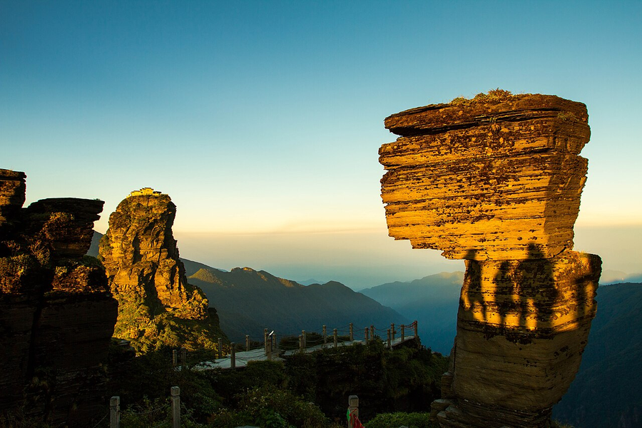
A mountain island of biodiversity rises above Guizhou’s surrounding landscape, with forest paths leading towards a dramatic sacred summit.
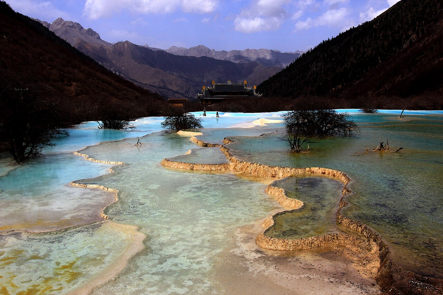
Travertine terraces and colourful pools reveal water working as a landscape maker.
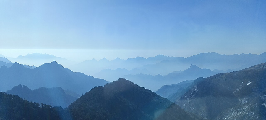
Explore a mountainous forest region whose natural value lies in habitats, biodiversity and ecological transitions.
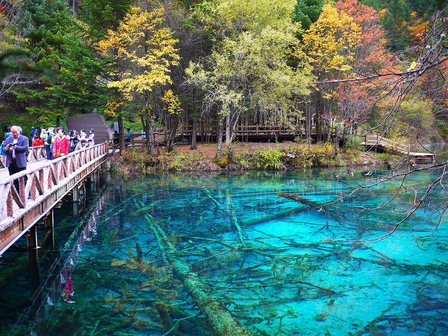
Lakes, waterfalls and wooded valleys create a succession of colour and texture.
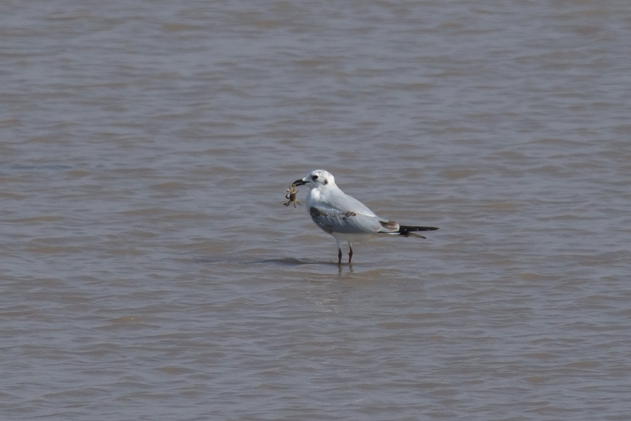
Tidal wetlands support extraordinary migrations and connect China’s coast with a much wider flyway.
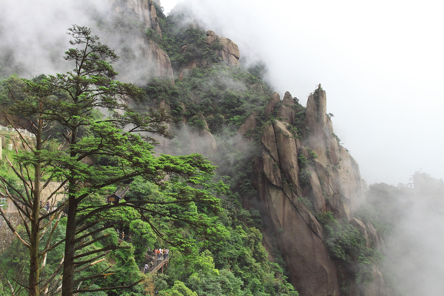
Granite pillars, pines and mountain light create a landscape of remarkable sculptural forms.
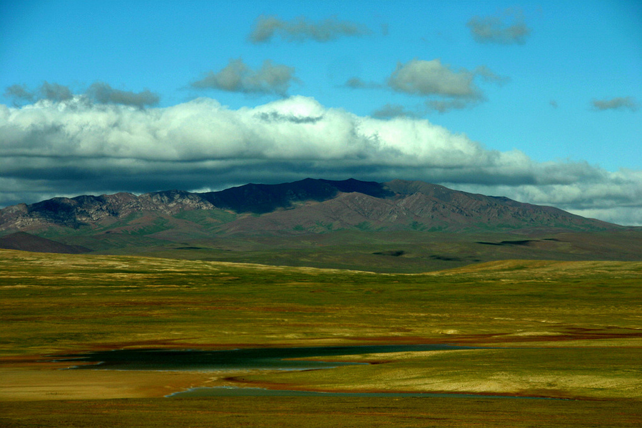
A vast high-altitude plateau protects habitats and wildlife adapted to extreme conditions.
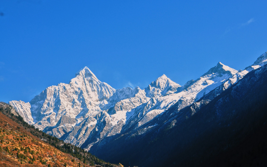
Mountain forests protect wild-panda habitat and a much wider range of species.
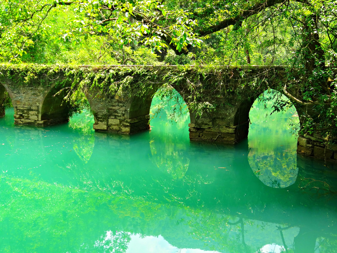
Compare tropical karst expressed as stone forests, bridges, towers and forested hills.
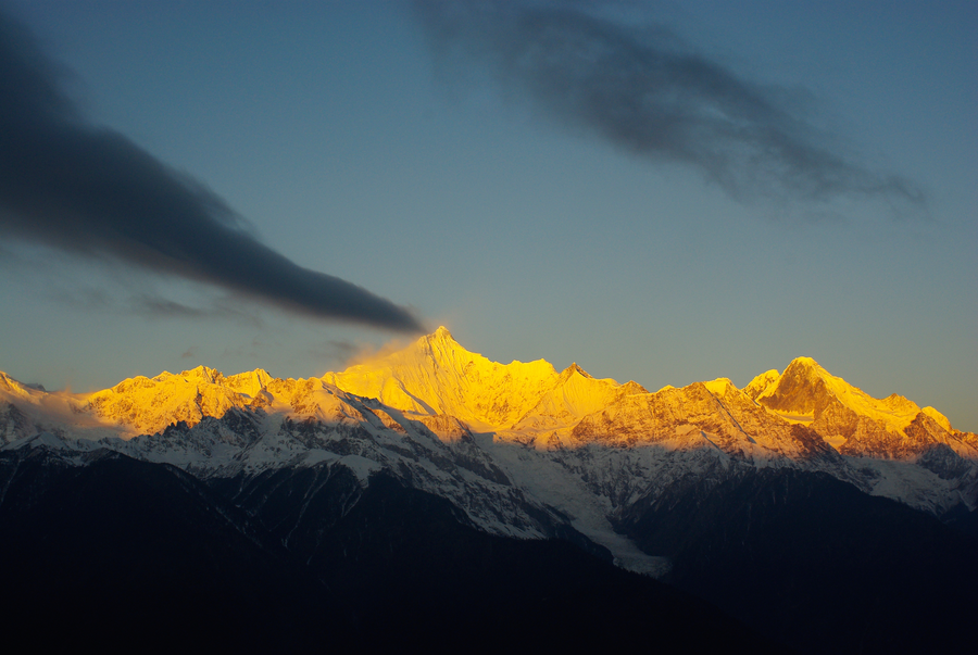
Great river systems and steep mountain terrain sustain exceptional habitat diversity in northwestern Yunnan.
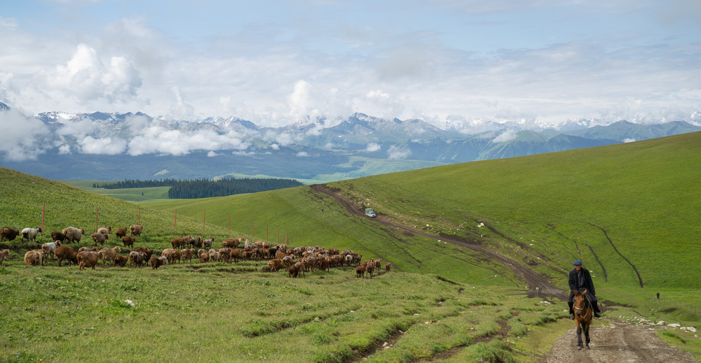
Snow peaks, forests and grasslands reveal a mountain system with striking ecological contrasts.
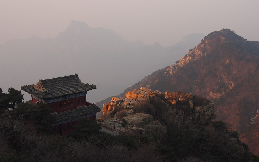
A sacred mountain brings natural grandeur together with ritual history, inscriptions and cultural memory.
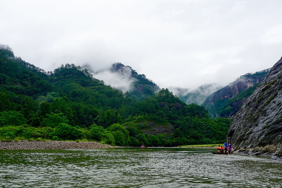
River bends, forested slopes and cultural places connect ecology with scholarship and regional life.
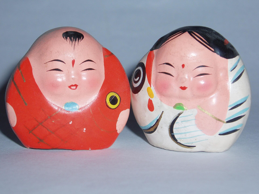
A little clay. A world of character. Huishan’s colourful figures bring auspicious symbols and theatrical stories into the palm of your hand.
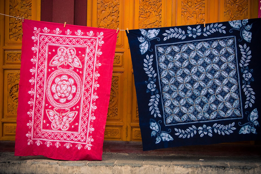
Fold, tie, dye — then unfold the surprise. In Dali’s Bai communities, blue-and-white cloth carries a living language of pattern.
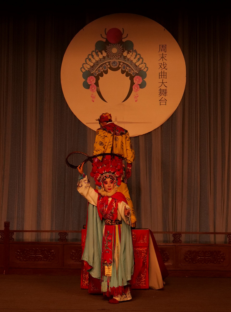
A sleeve, a glance, a line of song. Kunqu tells its stories through lyrical music and wonderfully precise movement.
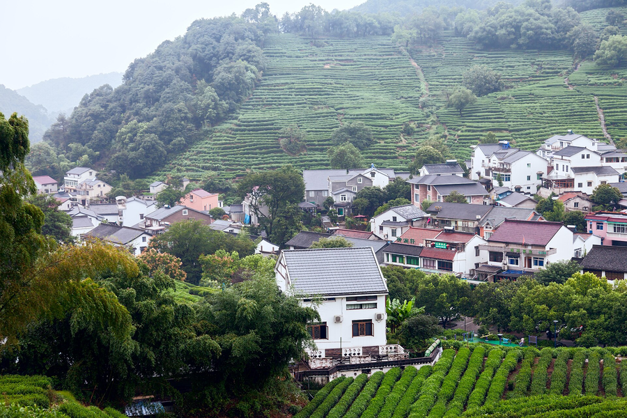
Follow a cup of tea back to the hills. Longjing connects Hangzhou’s tea landscape with the skilled hands that shape its leaves.
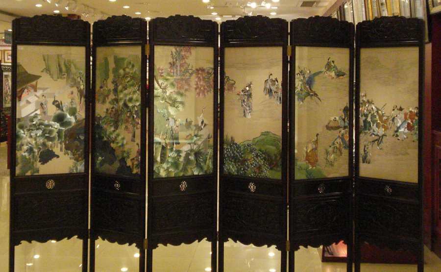
Images made one thread at a time. Fine silk stitches and subtle changes of colour invite you to slow down and look closer.
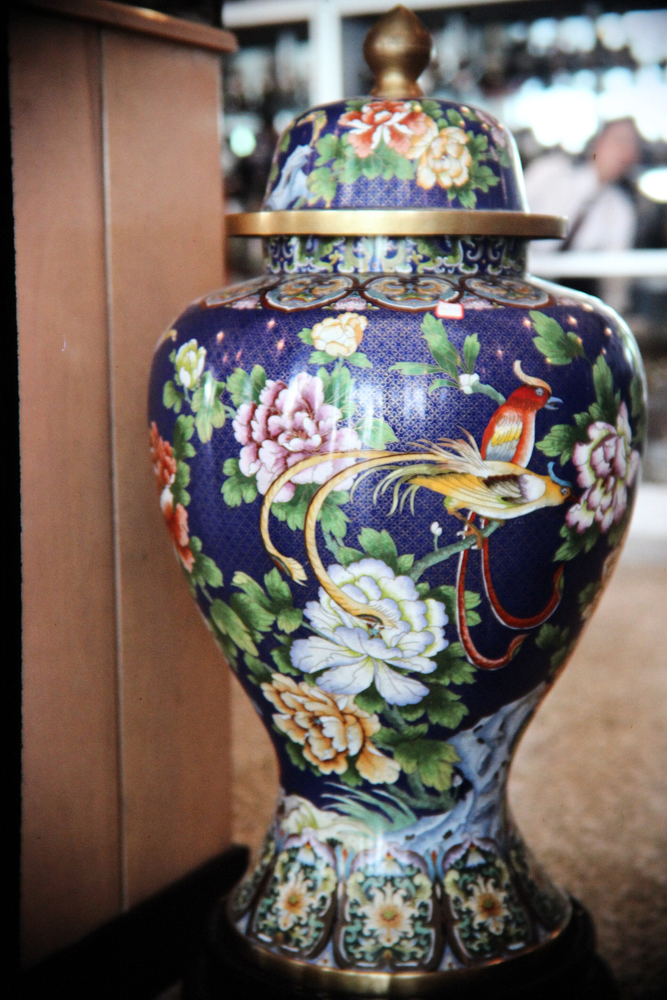
Colour held within fine wire. Discover the patient craft behind Beijing’s richly decorated enamel vessels and ornaments.
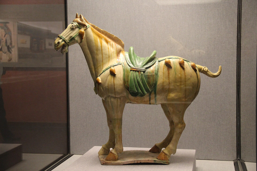
Glazes that flow into colour. Luoyang’s Tang-style sancai tradition connects familiar museum forms with a continuing craft.
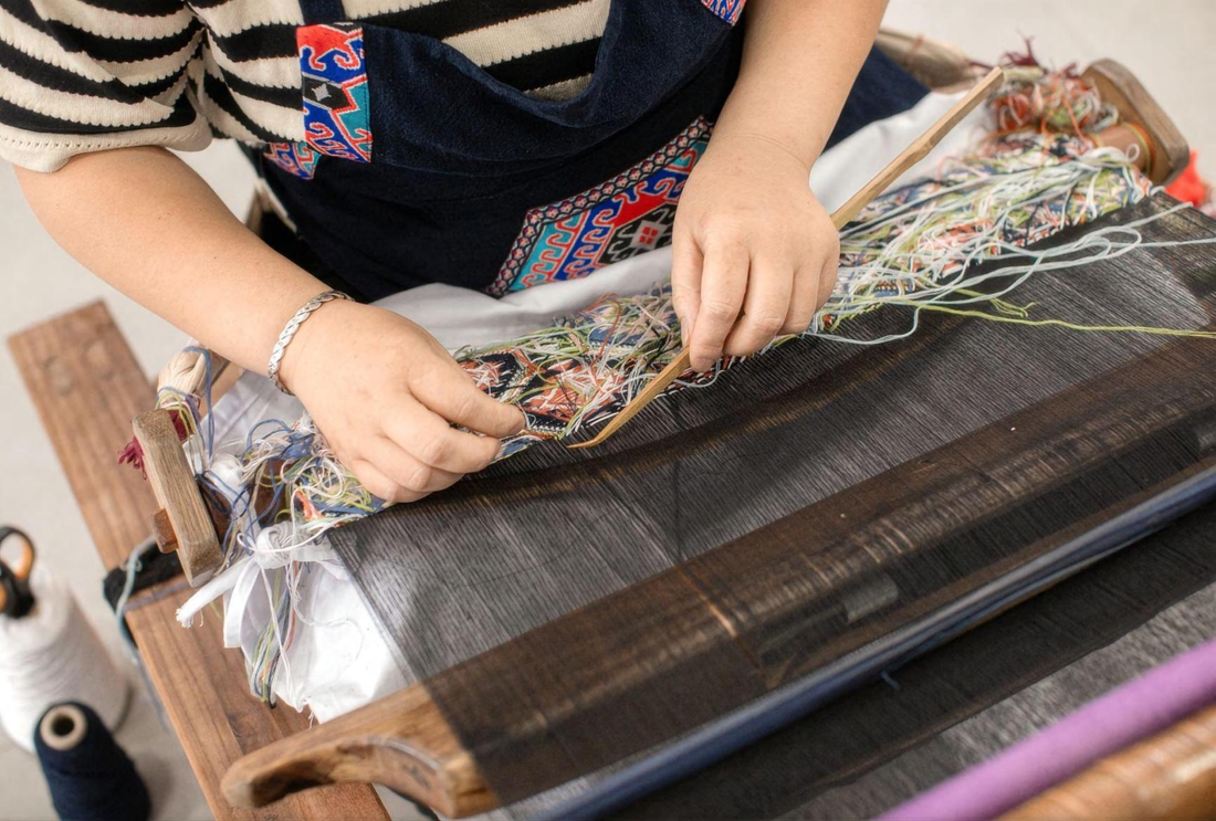
Meet Zhangjiajie through Xilankapu: woven patterns, time at a traditional loom and a small craft you can make yourself.
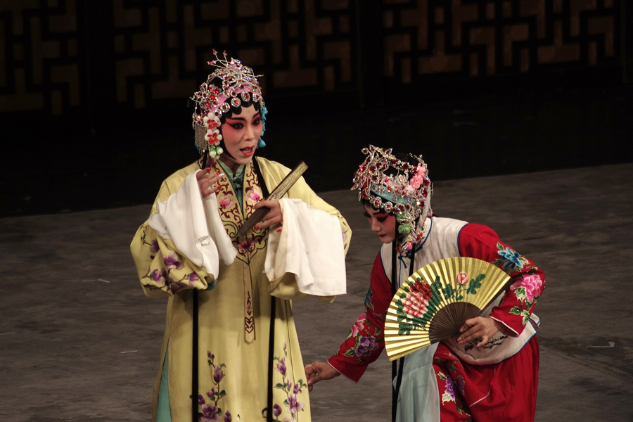
Singing, movement and martial arts combine with vivid costumes and symbolic make-up. An introduction to its characters and gestures offers a way into Peking opera's stories.
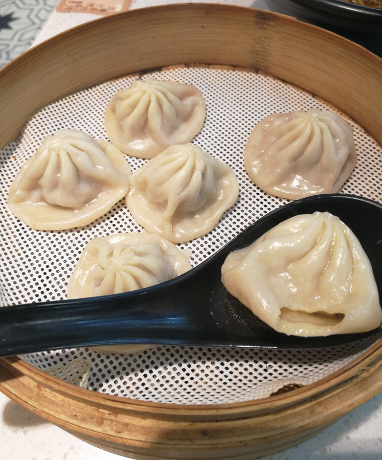
Thin wrappers, careful pleats and a savoury filling define Nanxiang's soup dumplings. The making process offers a close look at one of Shanghai's distinctive food traditions.
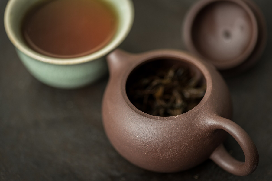
In Yixing, specialist tools and local clay shape vessels made for tea. Hand-building reveals how a teapot's body, lid and surface come together.
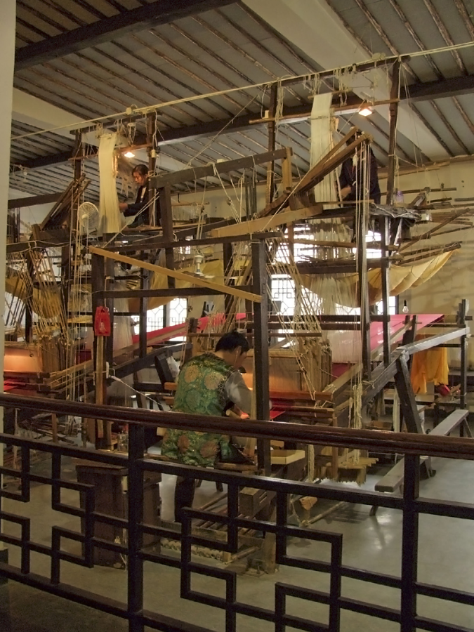
A large wooden loom and the coordination of two weavers lie behind Nanjing's richly patterned brocade. Watching the process reveals the work hidden inside the finished silk.
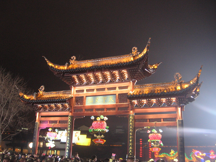
Around the Lunar New Year, Qinhuai's lantern traditions turn evening walks into a celebration of light and local life. The displays form part of a seasonal festival culture.
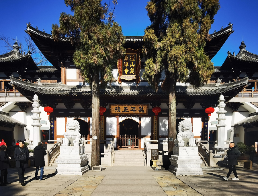
At Jingshan, tea is connected with a tradition of monastic hospitality. Learning about its ceremonial sequence opens a window onto the relationship between tea and Chan culture.
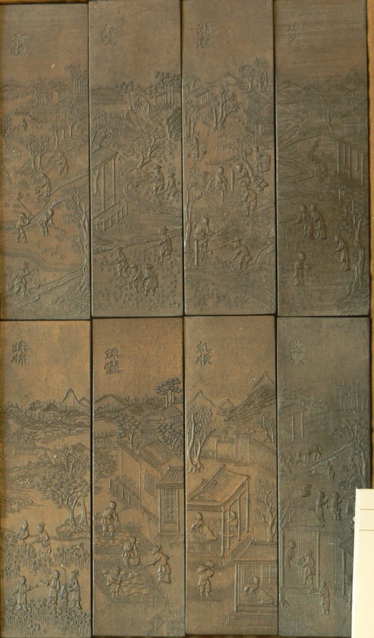
Before a brush meets paper, there is the craft of making ink. Huizhou inksticks connect the material world of the workshop with the visual traditions of Chinese writing.
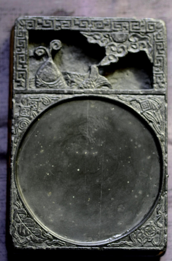
The texture of the stone guides the design of a She inkstone. Carving and polishing turn a natural material into an object used for grinding ink and appreciated for its form.
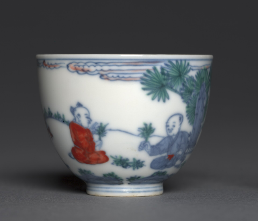
Shaping, trimming, decorating and firing each contribute to Jingdezhen's porcelain tradition. Following these stages gives familiar blue-and-white surfaces a deeper material story.
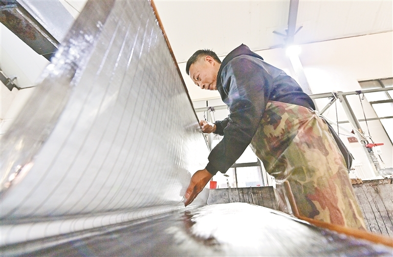
Bamboo and skilled handwork lie behind Liansi paper from Qianshan. The workshop process reveals the time and care contained in a seemingly simple sheet.
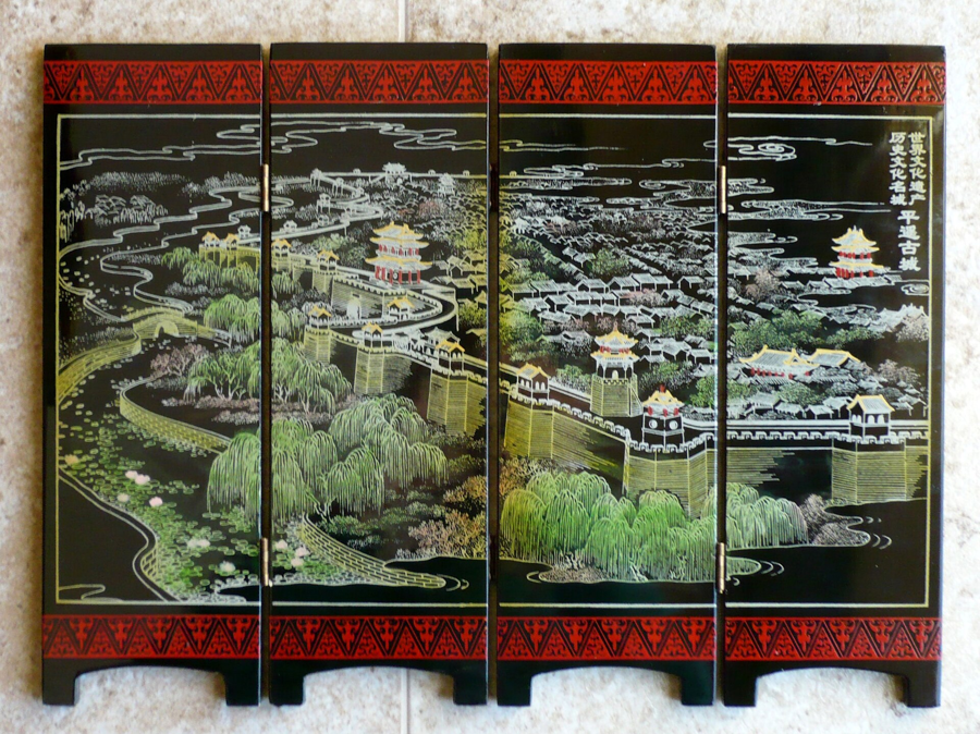
Layered lacquer, decoration and hand polishing create Pingyao's distinctive lustre. The craft connects small decorative objects with the furnishings of historic homes.
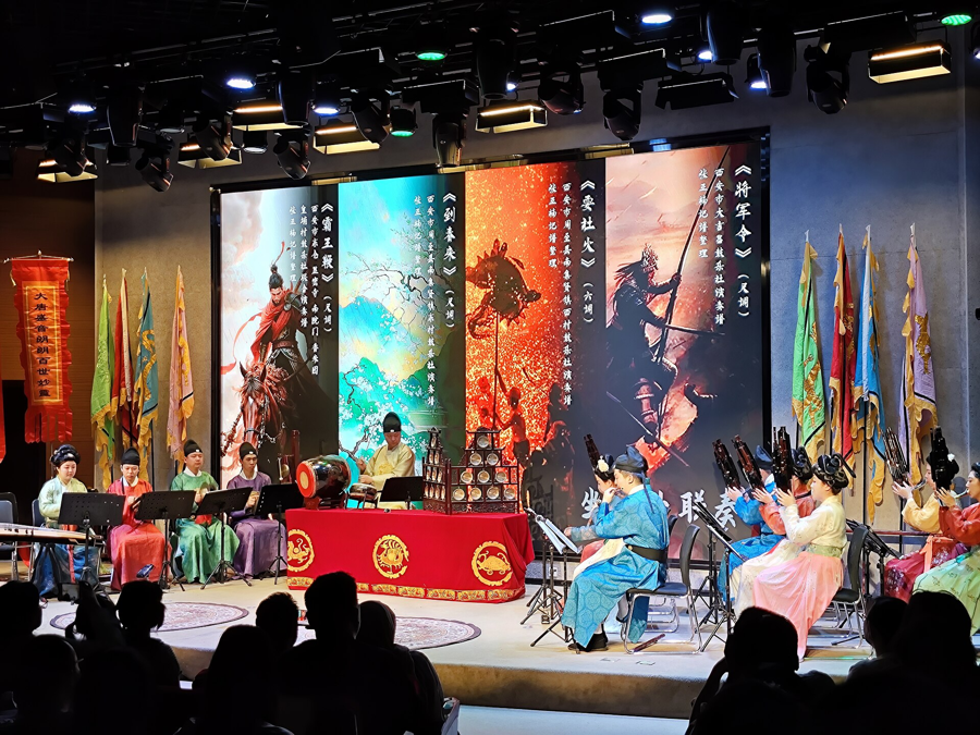
Wind instruments and percussion meet in Xi'an's traditional ensemble music. An introduction to the instruments and performance setting helps visitors hear more than rhythm alone.
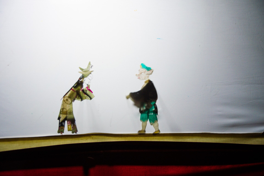
Detailed figures become characters when light reaches the screen. Huaxian shadow theatre brings together craft, music and the puppeteer's precise movements.
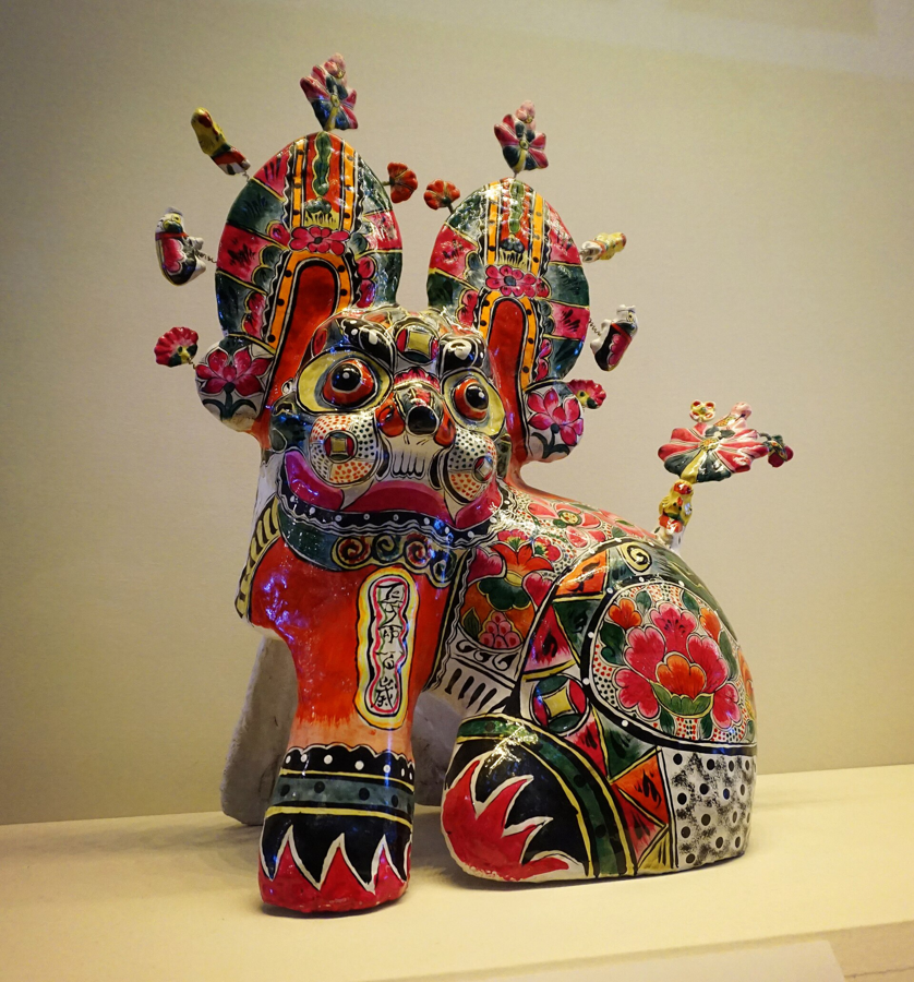
Bright painted patterns give Fengxiang's clay figures their character. The craft offers a colourful introduction to the folk imagery of western Guanzhong.
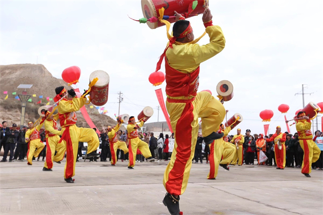
Large drums and coordinated movement give Lanzhou's Taiping drum tradition a strong visual presence. It is an energetic way to encounter local performance culture.
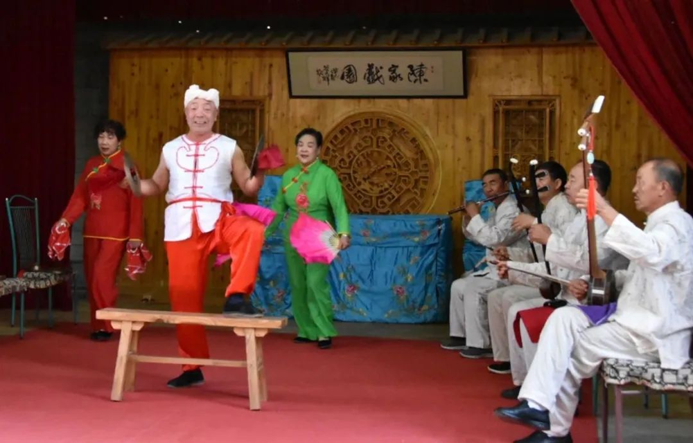
Beyond the cave paintings, Dunhuang has its own local theatre tradition. Quzi opera brings folk stories to life through regional melodies, dialect and performance.
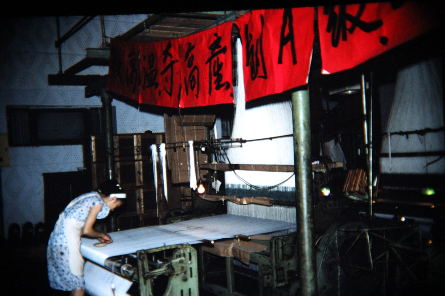
Pattern design and skilled weaving lie behind Chengdu's Shu brocade. The loom offers a different view of the city through silk, colour and the coordination of its makers.
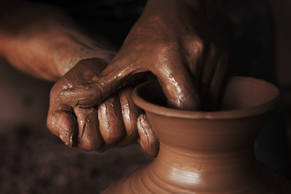
Local clay gives Rongchang pottery its material identity. Following the shaping and finishing process offers an encounter with a craft rooted beyond central Chongqing.
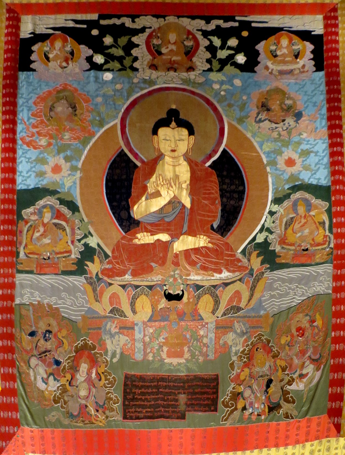
Layered textiles give Lhasa's appliqué thangka a distinctive presence. Looking at the materials and construction offers insight into an art with religious and cultural meaning.
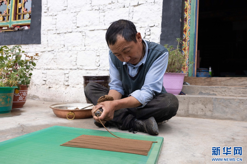
Follow Tibetan incense from water-ground wood to a hand-shaped stick. In Nyemo’s Thonpa area, the river, the workshop and the drying racks are all part of the story.
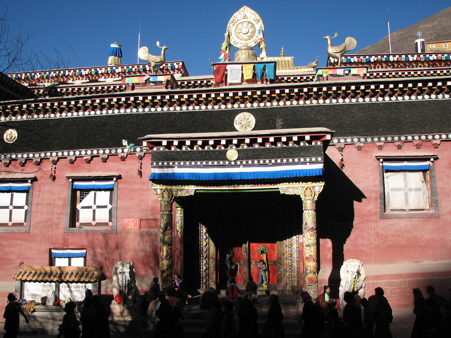
Woodblocks, ink and paper meet in a living printing tradition at Derge. Watching the coordinated work reveals how texts continue to be reproduced by hand.
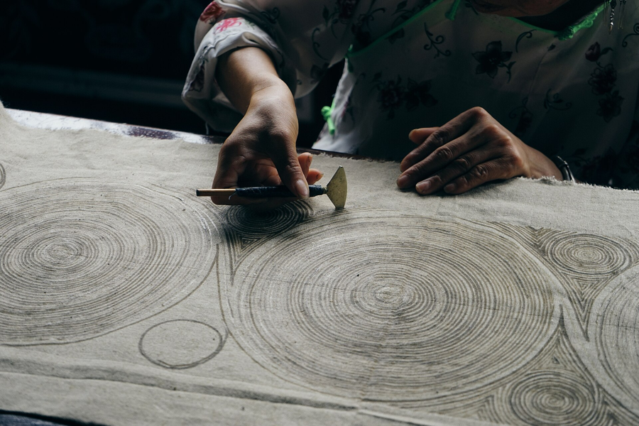
Wax-drawn patterns resist the dye and emerge on the finished cloth. Danzhai's Miao batik offers a distinct encounter with textile making and local visual traditions.
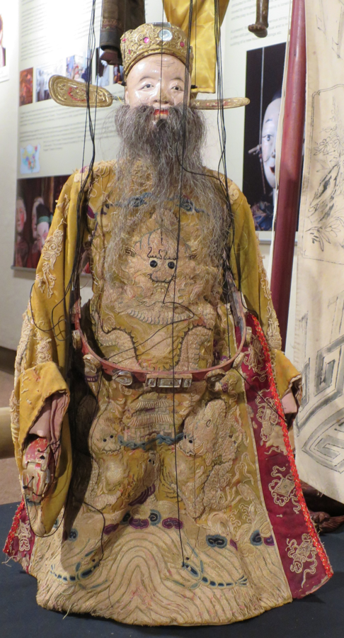
Skilled hands bring marionettes into a world of movement and story. Quanzhou's puppet theatre offers an engaging introduction to the region's performance traditions.
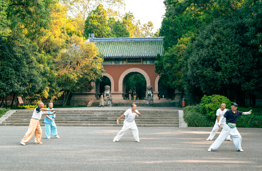
Discover taijiquan through relaxed, flowing movements, steady breathing and mindful attention. A guided introduction in Xi’an offers a different way to connect with Chinese culture.
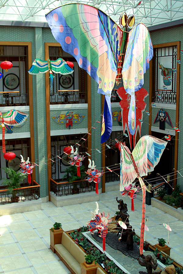
Bamboo, paper and painted wings. Discover how a light frame becomes a flying work of folk art in Weifang.
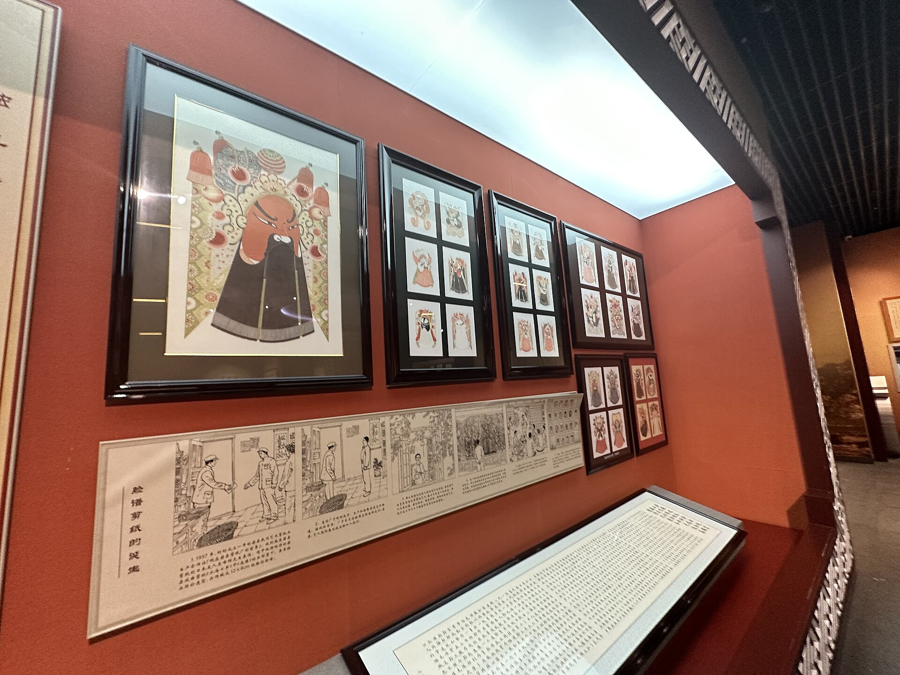
Delicate cuts meet vivid colour. Yuxian's paper art turns a thin sheet into flowers, figures and stories.
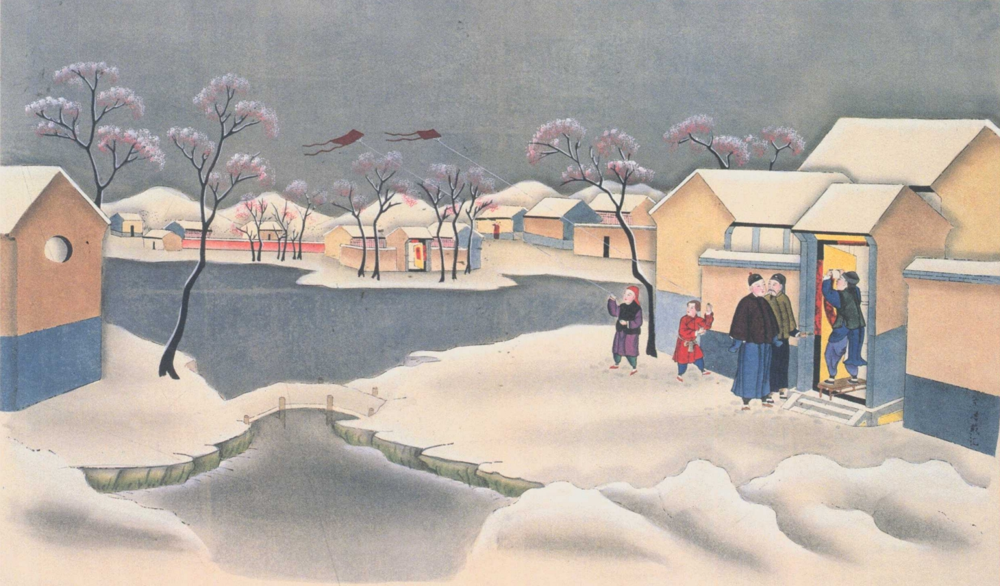
Printed outlines, painted colour and wishes for the year ahead. Yangliuqing brings Tianjin's festive visual traditions to life.
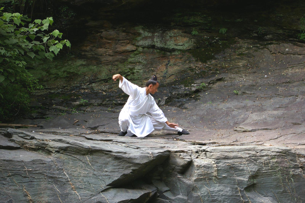
Meet the Wudang Mountains through movement as well as their temples. Discover a martial tradition closely connected with Daoist culture.
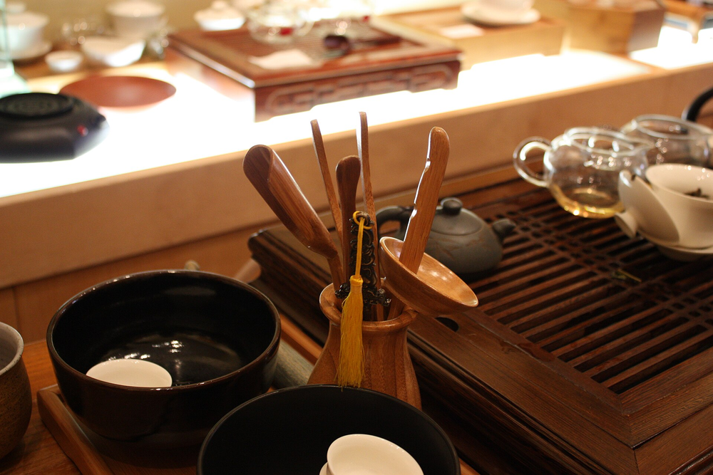
Small cups, careful brewing and generous hospitality. Chaozhou's gongfu tea tradition turns a shared drink into a close cultural encounter.

Bold colour, repeated motifs and the rhythm of a loom. Zhuang brocade offers a vivid encounter with Guangxi's textile culture.
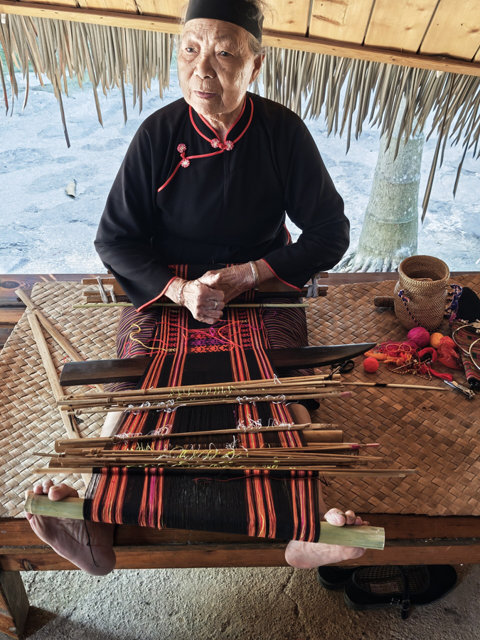
Spinning, dyeing, weaving and embroidery tell another story of Hainan. Explore the skill and visual language of Li textiles.
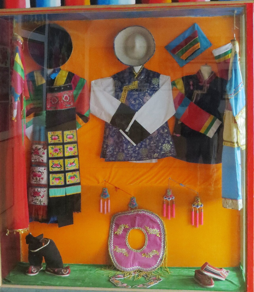
Colour gathers into carefully worked patterns. Tu pan embroidery brings Qinghai's textile traditions into close focus.
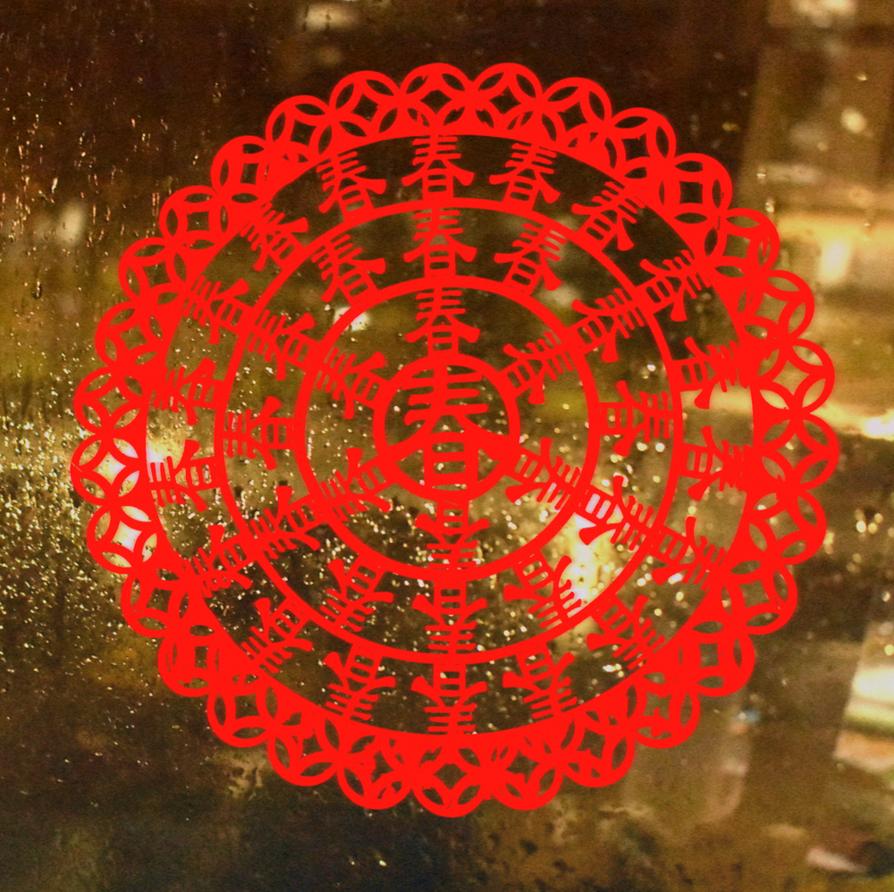
A sheet of paper becomes a window onto everyday life. Discover the patterns and stories of Hui paper-cutting in Ningxia.
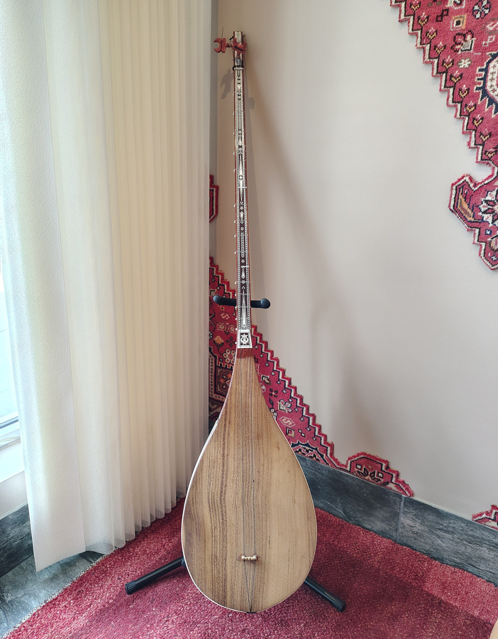
Voice, instruments and movement meet in Muqam. Discover a rich musical tradition within the Uyghur communities of Xinjiang.
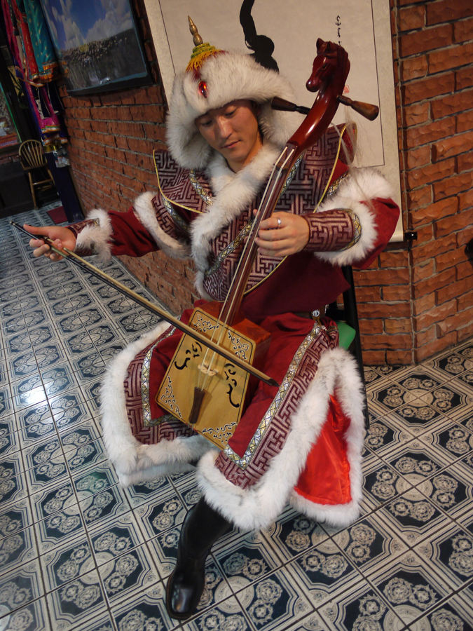
A carved horse's head, bowed strings and an expressive sound. Meet the morin khuur through music and the stories around it.
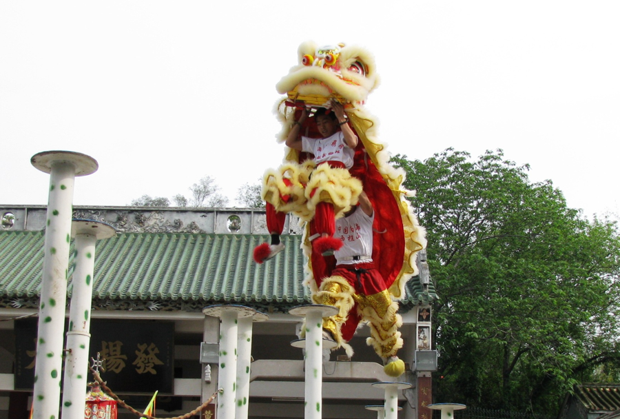
Drums sound and a lion comes to life. Foshan's southern lion dance combines athletic movement with expressive character.

Tea grown among rocky hills, shaped by skilled processing. Follow Wuyi oolong from its landscape into the cup.
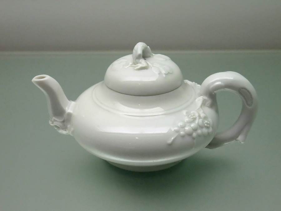
A world of detail in white. Dehua's porcelain tradition draws attention to form, surface and the possibilities of clay.
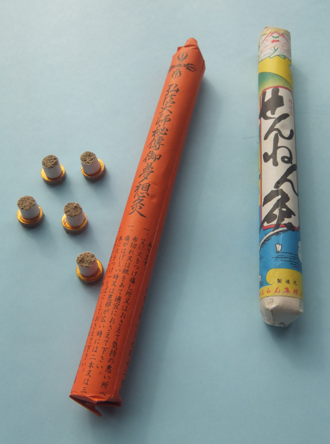
Look beyond a technique to the knowledge behind it: materials, teaching and the cultural language of a tradition passed between generations.
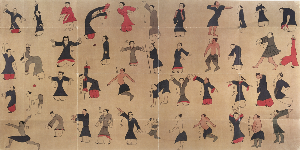
A small movement, a change of season. Daoyin opens a window onto the relationship between posture, breath and attention in Chinese cultural life.
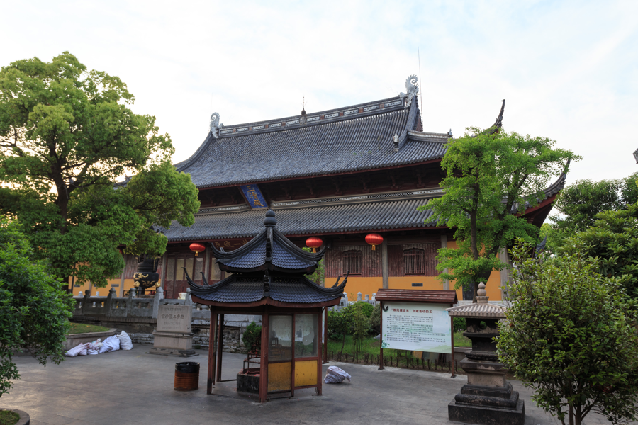
Discover Xuanmiao Temple’s musical heritage, where ritual chant and Jiangnan sound worlds meet.
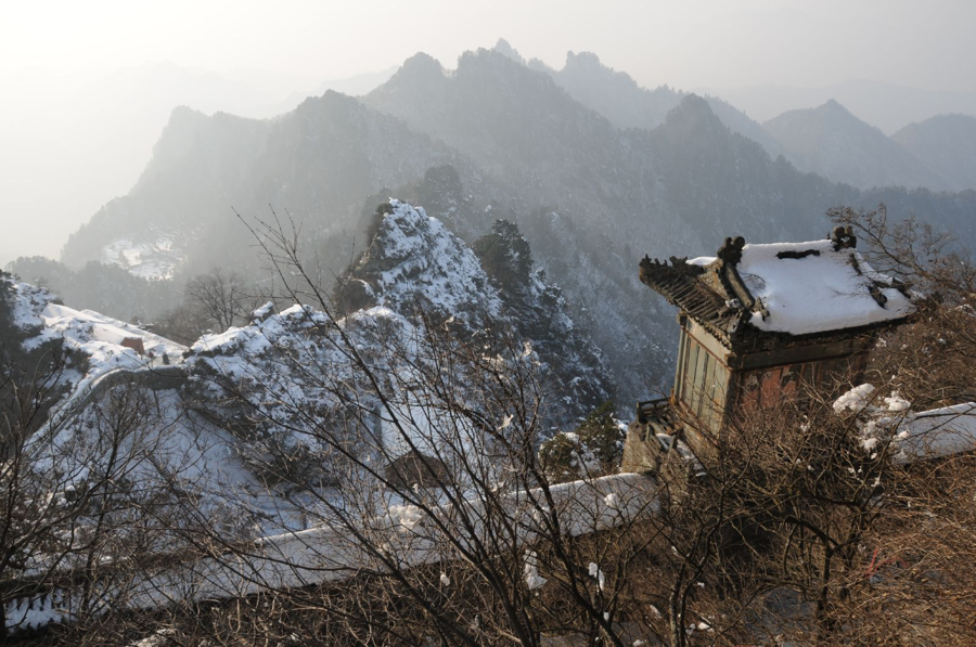
Explore the role of chant and instrumental music in the religious life of the Wudang Mountains.
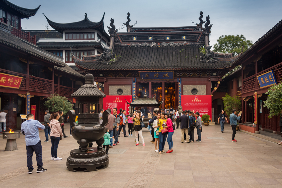
Discover a regional Daoist musical tradition within one of China’s most contemporary cities.
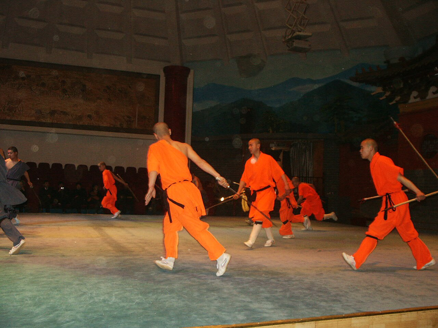
Explore a martial tradition in the cultural landscape around Shaolin Temple, with room to watch, ask questions and try the fundamentals.
A bridge, a lake and a love story. Follow the White Snake legend through the places that have given it a living voice.
Quartz-sandstone towers rise from forested ravines. A visit becomes more rewarding when you look at the joints, stream erosion and different levels of the landscape.
Granite summits, pines and cloud-filled valleys reveal a mountain shaped by uplift, fractures and long weathering. Look closely at the rock beneath the celebrated views.
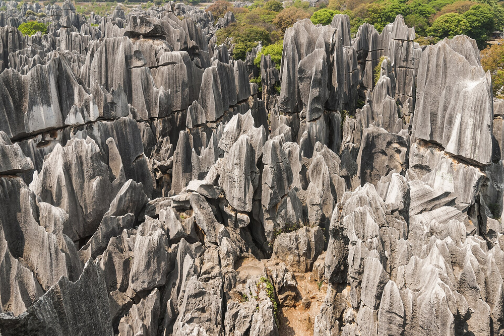
Walk between blades and towers of limestone that began as marine deposits. Water and dissolution turned the rock into a stone forest linked with Sani cultural stories.
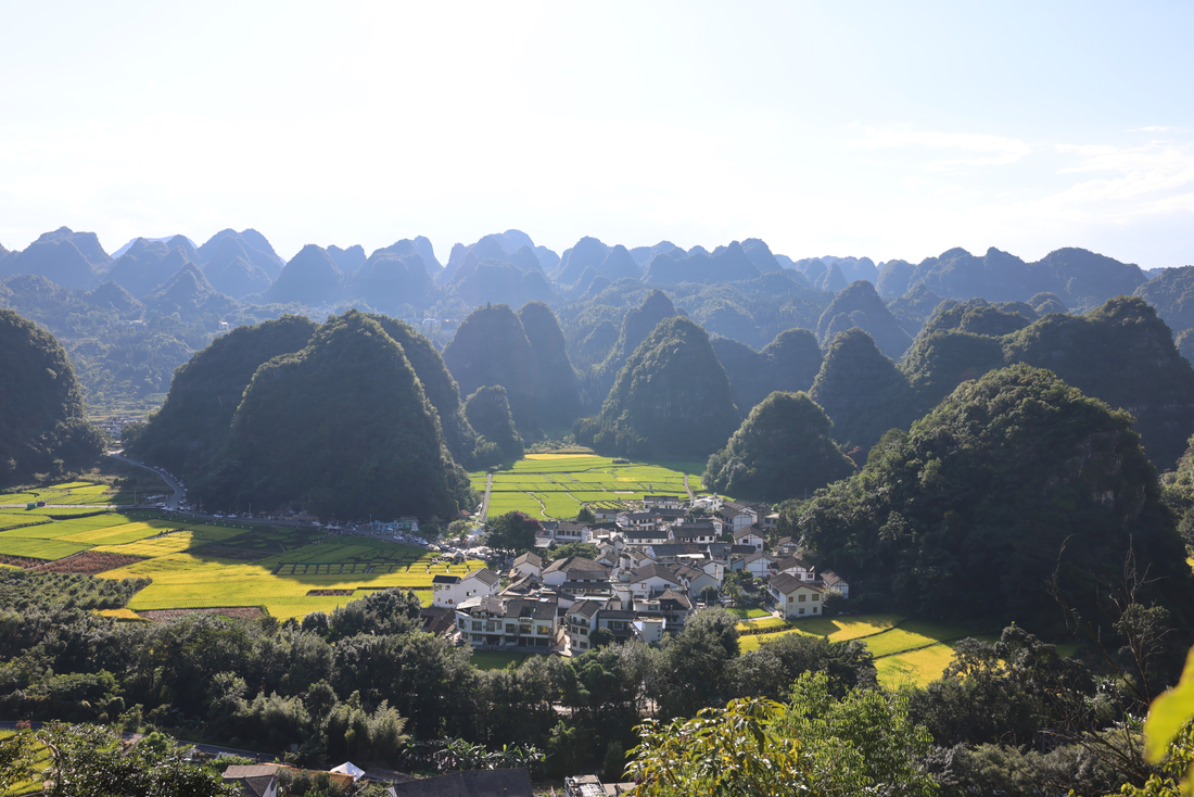
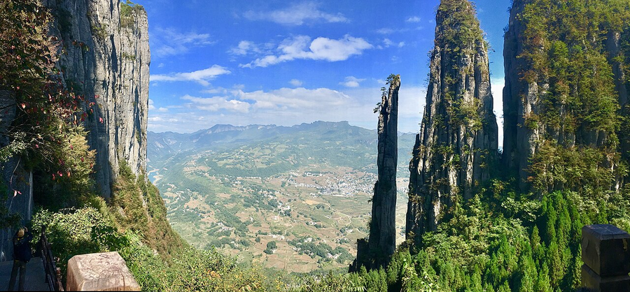
Cliffs, deep gorges and underground chambers show a limestone landscape shaped by uplift and water. The canyon and Tenglongdong give complementary views of this karst world.
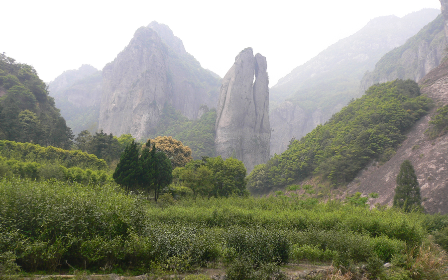
Volcanic rocks form narrow peaks, split ridges and waterfall cliffs. Lingyan’s temple landscape offers a quieter way to connect the shapes with generations of visitors.
Glaciated valleys and steep alpine summits give a dramatic introduction to western Sichuan. Read the mountain scenery through its ice-shaped slopes and valley forms.
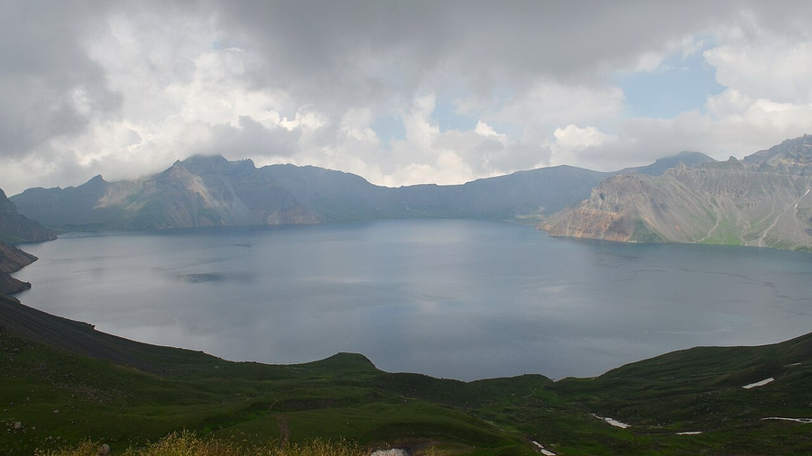
Tianchi fills a volcanic caldera above forest belts, waterfalls and geothermal features. Seeing the mountain as a volcano makes the changing landscape easier to understand.
Red sandstone cliffs, pillars and river views reveal a distinctive landscape northeast of Shaoguan. Compare the steep rock walls with the softer ground between them.
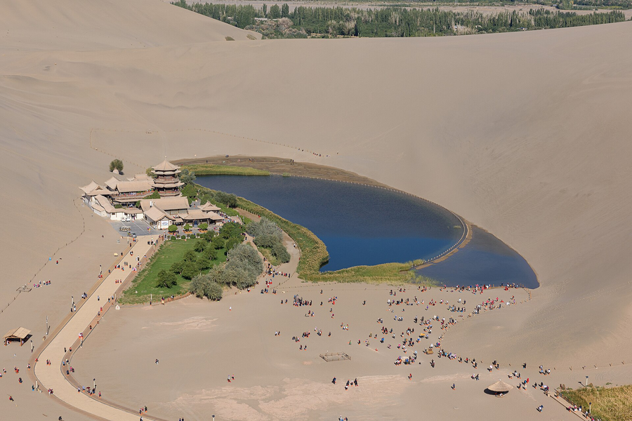
Wind-carved yardangs and the Mingsha dune landscape show the forces that shape an arid world. The desert becomes a geological chapter alongside the cave art.
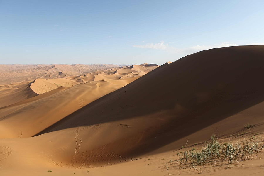
High dunes, lakes and desert landscapes invite a closer look at wind, water and the patterns between them. This is a journey into a large region rather than a single viewpoint.
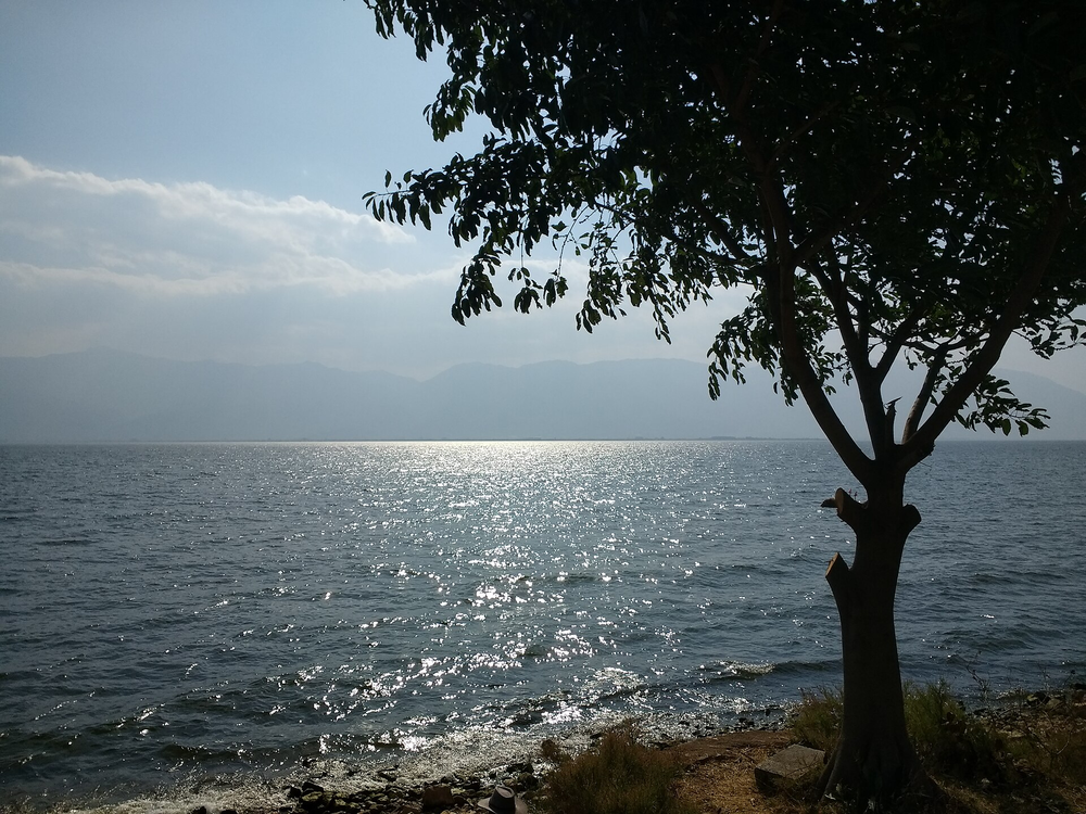
Cangshan’s mountain edge and Erhai’s lower landscape connect rock, water and Bai culture. Mountain paths and a geological museum reveal different sides of Dali.
Karst scenery and Zhoukoudian’s early-human record connect geology with archaeology beyond central Beijing. The museum provides a useful beginning to the landscape’s long story.
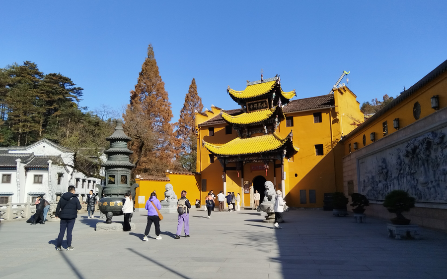
Granite mountain forms surround one of China’s major Buddhist pilgrimage landscapes. A slower walk can connect the rock, forest and temple setting.
Waterfalls and a raised mountain landscape offer a geological perspective on a place also known for poetry, learning and religious life. Look beyond one celebrated view.
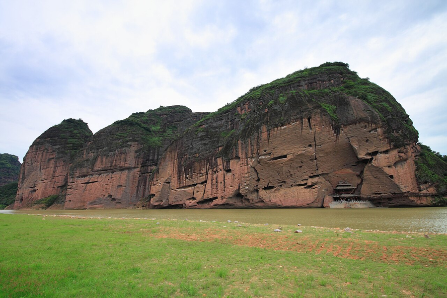
Red cliffs above the Luxi River bring Danxia landforms into a landscape associated with Daoist tradition. River and walking viewpoints show different relationships between rock and water.
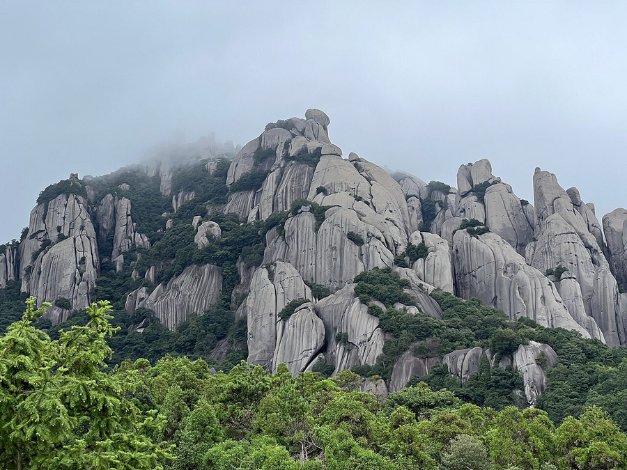
Taimu Mountain’s rock forms are one way into a geopark with several distinct scenic areas. The mountains offer a different chapter from Ningde’s coastal photography.
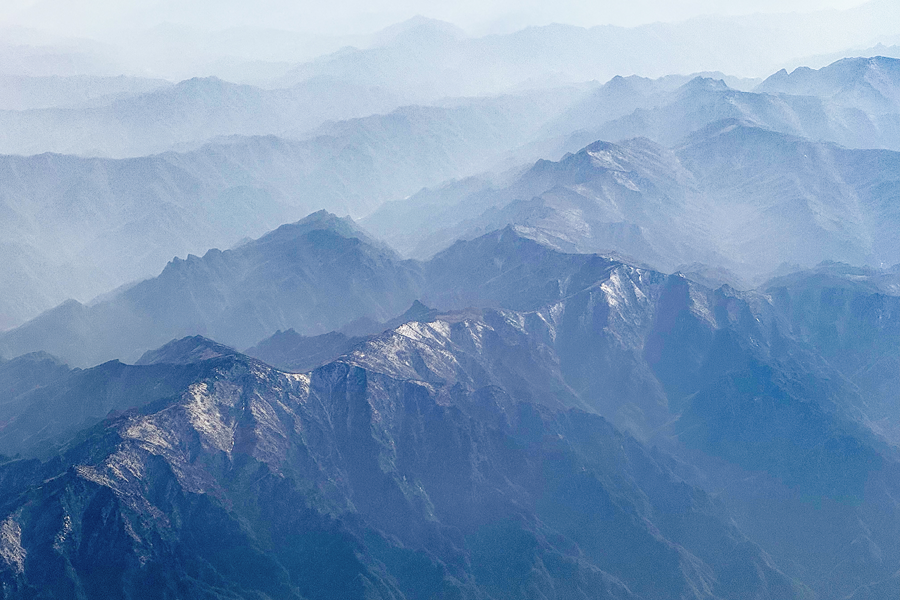
The Qinling mountain belt marks a major natural divide. Walks through the Zhongnan setting connect geological change, contrasting habitats and a long contemplative tradition.
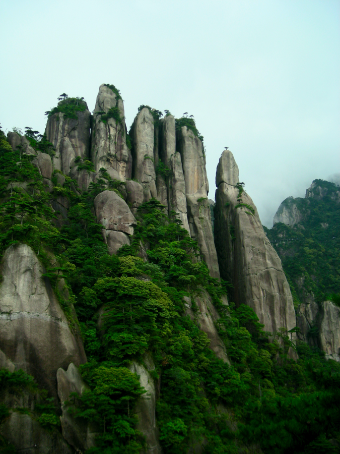
Granite columns rise above pines and cloud, their striking outlines shaped by fractures and weathering. Elevated paths make the landscape readable at several scales.
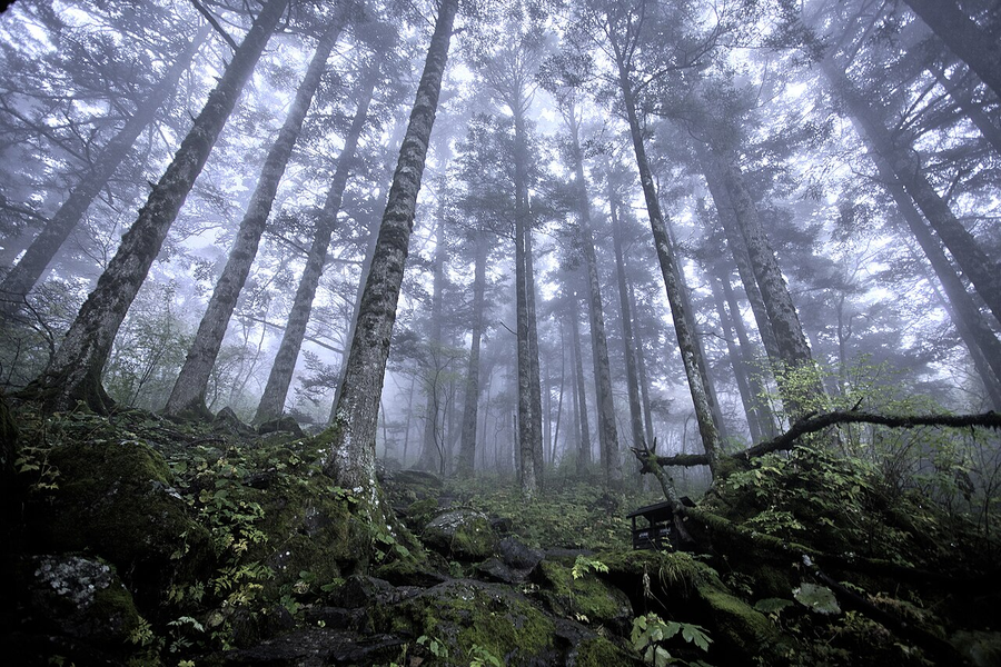
Folded rock, mountain forests and deep geological history give more context to this rich natural region. An interpreted walk connects the ground beneath you with the habitats above it.
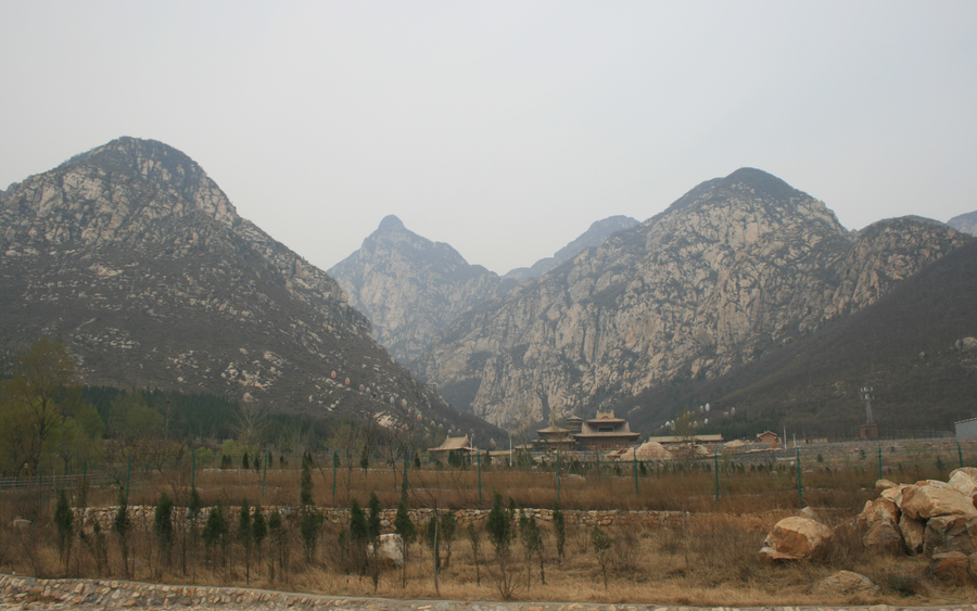
Rock layers and mountain forms around Dengfeng reveal a long geological history beside temples and academies. Shaoshi’s cliffs add another dimension to a Shaolin visit.
Ancient rock underlies a mountain layered with inscriptions, ritual and walking routes. Its geological story offers another way to look at China’s most celebrated eastern sacred peak.
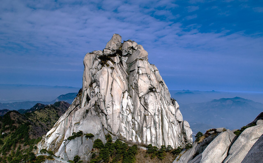
Granite peaks above wooded slopes give a geological focus to the Qianshan region. Nearby Sanzu Temple brings a separate Chan chapter into the stay.
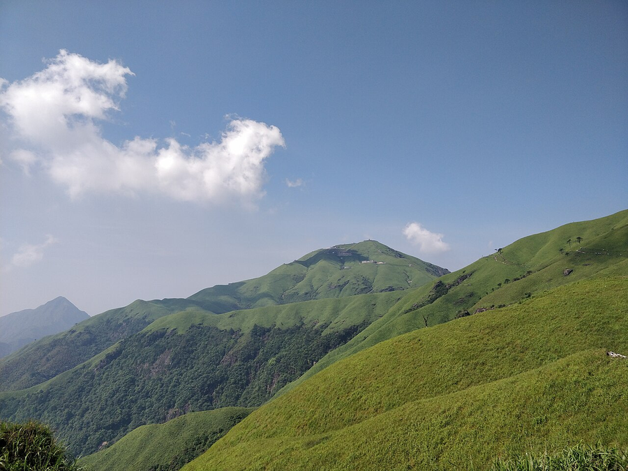
High meadows and granite mountain forms make a striking transition between exposed ridges and wooded lower slopes. The terrain’s vertical changes are part of the geological story.
No matching entries. Try another destination, search term or combination of labels.
Explore one recognised geopark at a time, with its actual visiting area and destination connection.
Quartz-sandstone towers rise from forested ravines. A visit becomes more rewarding when you look at the joints, stream erosion and different levels of the landscape.
The geopark lies around Zhangjiajie’s sandstone landscape. Wulingyuan is a separate World Heritage inscription; Tianmen Mountain is a different day outing.
Allow a full scenic-area day; choose a coherent Wulingyuan route, with time for walking and mist rather than rushing every viewpoint.
Official UNESCO name: Zhangjiajie UNESCO Global Geopark. Geoparks and World Heritage are separate programmes, with independently defined areas.
Read the UNESCO geopark entry ↗Granite summits, pines and cloud-filled valleys reveal a mountain shaped by uplift, fractures and long weathering. Look closely at the rock beneath the celebrated views.
The geopark concerns the Huangshan mountain landscape. The World Heritage property is separately defined; Hongcun and Xidi are a different inscription.
Choose mountain walks for your ability and allow weather flexibility. An overnight on the mountain changes the rhythm of sunrise and sunset viewing.
Official UNESCO name: Huangshan UNESCO Global Geopark. Geoparks and World Heritage are separate programmes, with independently defined areas.
Read the UNESCO geopark entry ↗Walk between blades and towers of limestone that began as marine deposits. Water and dissolution turned the rock into a stone forest linked with Sani cultural stories.
Shilin is outside Kunming and is also a component of South China Karst. The geopark and serial World Heritage property have distinct boundaries.
Give Shilin a dedicated excursion from Kunming, with time to explore beyond the busiest photo stops.
Official UNESCO name: Shilin UNESCO Global Geopark. Geoparks and World Heritage are separate programmes, with independently defined areas.
Read the UNESCO geopark entry ↗Wanfenglin’s limestone peaks, the Maling River gorge and evidence of ancient marine life offer three ways to understand this karst region. Village landscapes add a human scale.
The geopark includes distinct geological visiting areas around Xingyi. Recognition does not make every attraction in Guizhou a UNESCO site.
Keep Wanfenglin and the canyon as separate substantial visits. Add the geopark museum for fossil interpretation rather than fitting everything into one day.
Official UNESCO name: Xingyi UNESCO Global Geopark. Geoparks and World Heritage are separate programmes, with independently defined areas.
Read the UNESCO geopark entry ↗Cliffs, deep gorges and underground chambers show a limestone landscape shaped by uplift and water. The canyon and Tenglongdong give complementary views of this karst world.
The geopark includes the Enshi Grand Canyon and Tenglongdong sectors. Other Enshi attractions are separate visits, not automatically within the recognised area.
Give the canyon a full day. Tenglongdong lies near Lichuan and needs its own transfer and visiting time.
Official UNESCO name: Enshi Grand Canyon-Tenglongdong Cave UNESCO Global Geopark. Geoparks and World Heritage are separate programmes, with independently defined areas.
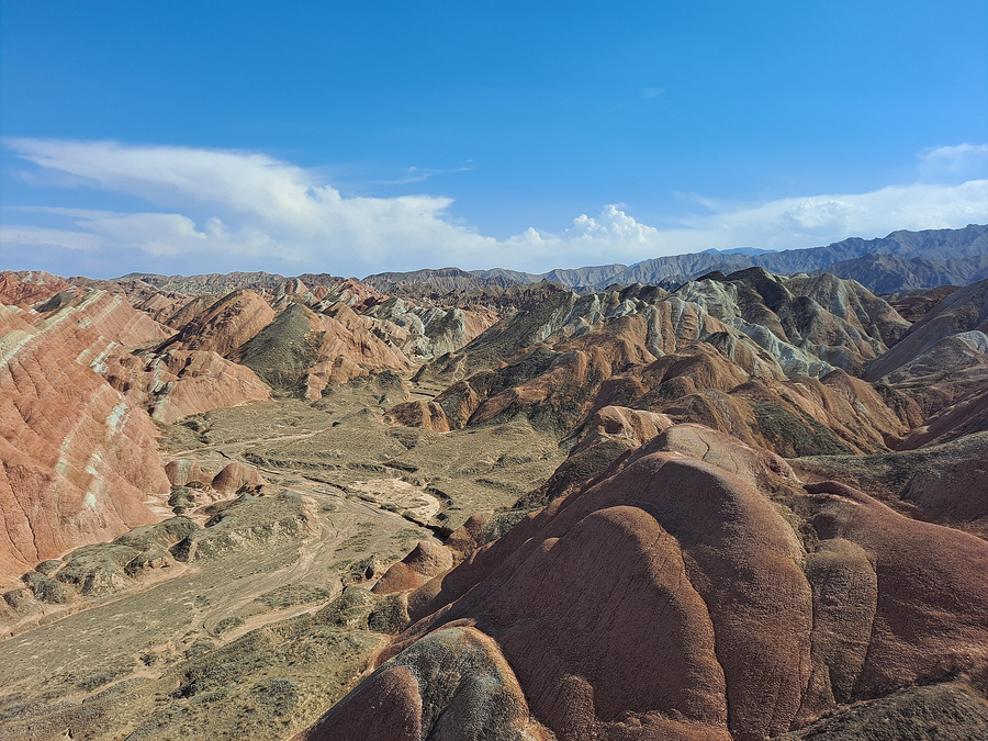
Read the UNESCO geopark entry ↗Coloured sedimentary slopes and carved rock scenery bring the geological side of the Hexi Corridor into view. Light makes a marked difference to what you see.
Zhangye UNESCO Global Geopark is in Gansu. It is not a component of the World Heritage property called China Danxia.
Choose the actual scenic area and give its viewpoints time. Pair a geological outing with Zhangye’s temples on another part of the stay.
Official UNESCO name: Zhangye UNESCO Global Geopark. Geoparks and World Heritage are separate programmes, with independently defined areas.
Read the UNESCO geopark entry ↗Volcanic rocks form narrow peaks, split ridges and waterfall cliffs. Lingyan’s temple landscape offers a quieter way to connect the shapes with generations of visitors.
The recognised geopark is Yandangshan; it is not on the World Heritage List. The different scenic areas require their own visit planning.
Combine nearby scenic areas into manageable walking days. Check the weather for waterfall views and exposed paths.
Official UNESCO name: Yandangshan UNESCO Global Geopark. Geoparks and World Heritage are separate programmes, with independently defined areas.
Read the UNESCO geopark entry ↗Glaciated valleys and steep alpine summits give a dramatic introduction to western Sichuan. Read the mountain scenery through its ice-shaped slopes and valley forms.
The geopark is around Mount Siguniang, not all of western Sichuan. Parts of this region also belong to the separately defined Sichuan Giant Panda Sanctuaries property.
Choose an accessible valley such as Shuangqiao for the available day. Altitude, weather and the road journey need deliberate pacing.
Official UNESCO name: Mt. Siguniang UNESCO Global Geopark. Geoparks and World Heritage are separate programmes, with independently defined areas.
Read the UNESCO geopark entry ↗Tianchi fills a volcanic caldera above forest belts, waterfalls and geothermal features. Seeing the mountain as a volcano makes the changing landscape easier to understand.
This entry concerns the Chinese UNESCO Global Geopark around Changbaishan. Access depends on the selected managed visitor route.
Allow a full mountain day and weather flexibility. The lake may be hidden by cloud; do not build the visit around a guaranteed view.
Official UNESCO name: Mount Changbaishan UNESCO Global Geopark. Geoparks and World Heritage are separate programmes, with independently defined areas.
Read the UNESCO geopark entry ↗Red sandstone cliffs, pillars and river views reveal a distinctive landscape northeast of Shaoguan. Compare the steep rock walls with the softer ground between them.
Danxiashan is one component of the serial China Danxia World Heritage property. Nanhua Temple is a separate cultural visit.
Base in the Shaoguan area and give Danxiashan its own substantial excursion; temple visits can be a different day.
Official UNESCO name: Danxiashan UNESCO Global Geopark. Geoparks and World Heritage are separate programmes, with independently defined areas.
Read the UNESCO geopark entry ↗Wind-carved yardangs and the Mingsha dune landscape show the forces that shape an arid world. The desert becomes a geological chapter alongside the cave art.
The geopark’s desert visiting areas are distinct from the Mogao Caves World Heritage property. The western yardang outing involves a longer transfer.
Keep Mogao and the distant yardang circuit on separate days where possible. Arrange desert travel around heat, wind and daylight.
Official UNESCO name: Dunhuang UNESCO Global Geopark. Geoparks and World Heritage are separate programmes, with independently defined areas.
Read the UNESCO geopark entry ↗High dunes, lakes and desert landscapes invite a closer look at wind, water and the patterns between them. This is a journey into a large region rather than a single viewpoint.
The UNESCO geopark covers a wider desert territory. Badain Jaran’s World Heritage inscription identifies a separately defined sand-and-lake landscape.
Choose the actual desert sector and overnight plan with a specialist operator. Avoid treating remote lakes as a quick city excursion.
Official UNESCO name: Alxa Desert UNESCO Global Geopark. Geoparks and World Heritage are separate programmes, with independently defined areas.
Read the UNESCO geopark entry ↗Cangshan’s mountain edge and Erhai’s lower landscape connect rock, water and Bai culture. Mountain paths and a geological museum reveal different sides of Dali.
The geopark covers the Cangshan–Erhai landscape; this tag does not designate the whole of Dali city as a World Heritage site.
Pair a manageable mountain route with separate Erhai time. Weather, height and the choice of access point affect the day.
Official UNESCO name: Dali-Cangshan UNESCO Global Geopark. Geoparks and World Heritage are separate programmes, with independently defined areas.
Read the UNESCO geopark entry ↗Karst scenery and Zhoukoudian’s early-human record connect geology with archaeology beyond central Beijing. The museum provides a useful beginning to the landscape’s long story.
Fangshan Geopark spans southwestern Beijing and adjoining Hebei. Zhoukoudian is a distinct World Heritage property within this wider setting.
Give Zhoukoudian or a landscape area a separate excursion from the capital. Do not combine distant sectors with a full palace day.
Official UNESCO name: Fangshan UNESCO Global Geopark. Geoparks and World Heritage are separate programmes, with independently defined areas.
Read the UNESCO geopark entry ↗Granite mountain forms surround one of China’s major Buddhist pilgrimage landscapes. A slower walk can connect the rock, forest and temple setting.
Jiuhuashan is a UNESCO Global Geopark. Its Buddhist importance is a different form of significance; it is not a World Heritage inscription.
Choose temple time and mountain walking to suit the traveller. Sacred sites and higher routes have different access and physical demands.
Official UNESCO name: Jiuhuashan UNESCO Global Geopark. Geoparks and World Heritage are separate programmes, with independently defined areas.
Read the UNESCO geopark entry ↗Waterfalls and a raised mountain landscape offer a geological perspective on a place also known for poetry, learning and religious life. Look beyond one celebrated view.
The geopark overlaps the Lushan landscape but is separately recognised from Lushan National Park’s cultural World Heritage inscription.
Allow different days for plateau scenery and lower cultural sites. Donglin Temple at the foot of the mountain is a separate transfer.
Official UNESCO name: Lushan UNESCO Global Geopark. Geoparks and World Heritage are separate programmes, with independently defined areas.
Read the UNESCO geopark entry ↗Red cliffs above the Luxi River bring Danxia landforms into a landscape associated with Daoist tradition. River and walking viewpoints show different relationships between rock and water.
Longhushan is a component of China Danxia as well as a UNESCO Global Geopark. A Daoist temple visit has its own cultural context.
Use Yingtan as a gateway, allowing dedicated scenic-area travel. River outings and paths depend on the current visitor arrangements.
Official UNESCO name: Longhushan UNESCO Global Geopark. Geoparks and World Heritage are separate programmes, with independently defined areas.
Read the UNESCO geopark entry ↗Taimu Mountain’s rock forms are one way into a geopark with several distinct scenic areas. The mountains offer a different chapter from Ningde’s coastal photography.
The geopark includes Taimu Mountain, Baishuiyang and Baiyun Mountain. Xiapu’s entire coast is not automatically within this designation.
Choose one mountain sector for a substantial visit. Taimu, Pingnan and the coast need explicit transfers and often different overnight bases.
Official UNESCO name: Ningde UNESCO Global Geopark. Geoparks and World Heritage are separate programmes, with independently defined areas.
Read the UNESCO geopark entry ↗The Qinling mountain belt marks a major natural divide. Walks through the Zhongnan setting connect geological change, contrasting habitats and a long contemplative tradition.
The geopark comprises defined sectors of the Qinling region. A visit to a nearby monastery does not mean the entire wider mountain range has the same designation.
Choose a named accessible area and a realistic walking day. Monastic visits and high-mountain excursions require separate planning.
Official UNESCO name: Qinling Zhongnanshan UNESCO Global Geopark. Geoparks and World Heritage are separate programmes, with independently defined areas.
Read the UNESCO geopark entry ↗Granite columns rise above pines and cloud, their striking outlines shaped by fractures and weathering. Elevated paths make the landscape readable at several scales.
Sanqingshan has separate UNESCO Global Geopark and natural World Heritage recognition. This does not extend to all attractions around Shangrao.
Plan a mountain day with weather flexibility and an appropriate walking route. Huangling is a different outing.
Official UNESCO name: Sanqingshan UNESCO Global Geopark. Geoparks and World Heritage are separate programmes, with independently defined areas.
Read the UNESCO geopark entry ↗Folded rock, mountain forests and deep geological history give more context to this rich natural region. An interpreted walk connects the ground beneath you with the habitats above it.
The geopark and Hubei Shennongjia World Heritage property are separately defined recognitions. Use named visitor areas rather than the whole district as the scope.
Allow several days for a considered mountain-and-forest visit, with clear driving stages and weather flexibility.
Official UNESCO name: Shennongjia UNESCO Global Geopark. Geoparks and World Heritage are separate programmes, with independently defined areas.
Read the UNESCO geopark entry ↗Rock layers and mountain forms around Dengfeng reveal a long geological history beside temples and academies. Shaoshi’s cliffs add another dimension to a Shaolin visit.
Songshan is the geopark. The Historic Monuments of Dengfeng are a separate, serial World Heritage inscription; Zhengzhou city is the gateway.
Give Dengfeng its own excursion from Zhengzhou. Add geological walking only with enough time, rather than squeezing it after every monument.
Official UNESCO name: Songshan UNESCO Global Geopark. Geoparks and World Heritage are separate programmes, with independently defined areas.
Read the UNESCO geopark entry ↗Ancient rock underlies a mountain layered with inscriptions, ritual and walking routes. Its geological story offers another way to look at China’s most celebrated eastern sacred peak.
Taishan has both World Heritage and UNESCO Global Geopark recognition with their own scopes. The tag belongs to the mountain setting, not all of Tai’an.
Choose the ascent and descent around walking ability, weather and time. Dai Temple offers a different cultural visit below the mountain.
Official UNESCO name: Taishan UNESCO Global Geopark. Geoparks and World Heritage are separate programmes, with independently defined areas.
Read the UNESCO geopark entry ↗Granite peaks above wooded slopes give a geological focus to the Qianshan region. Nearby Sanzu Temple brings a separate Chan chapter into the stay.
The UNESCO geopark is at Tianzhushan and its defined surrounding areas. Anqing is the regional destination connection, not the recognised site itself.
Allow a dedicated mountain visit from a suitable base, with Sanzu Temple separately paced. Weather affects the higher walking routes.
Official UNESCO name: Tianzhushan UNESCO Global Geopark. Geoparks and World Heritage are separate programmes, with independently defined areas.
Read the UNESCO geopark entry ↗High meadows and granite mountain forms make a striking transition between exposed ridges and wooded lower slopes. The terrain’s vertical changes are part of the geological story.
The geopark spans sectors around Pingxiang, Yichun and Ji’an. Our Pingxiang guide is a gateway connection, rather than coverage of every park sector.
Choose a manageable ridge route and check the forecast. Wind, rain and visibility matter more than collecting every summit photograph.
Official UNESCO name: Wugongshan UNESCO Global Geopark. Geoparks and World Heritage are separate programmes, with independently defined areas.
Read the UNESCO geopark entry ↗